Poliesportiu de Banyeres de Mariola – Camí de la Font de la Coveta – La Borrera Molí de Blanes – Font de la Coveta – Mas de l’Altet de la Mariola – Mas del Combregants i Mas d’Aguilella – Azagador de la Font Freda – Mas de la Rambla – El Pla de l’Anima – Alt del port de la carretera Bocairent-Alcoi – Mas del Portell – Cases del Portell – GR 7 – Ermita de Sata Bàrbera – Mas de la Fabriqueta – Mas de l’Altet de Santa Bàrbera – Mas del Cipreret o Mas Secret de Mariola – Camping Mariola – Ermita de Sant Tomàs – Font de Mariola – Casa Mariola – Mas de Borratxina – Assegador de Mariola – Caseriu Mariola – PR-CV 160 –el Barranc del Cint – GR 7 – Font de la Teula – Font del Pastoret – Mas del Potro – fàbrica del Llonganicer (en ruïnes) – Urbanització Gormaig – Pàrquing Torre de Cotes – Alcoi
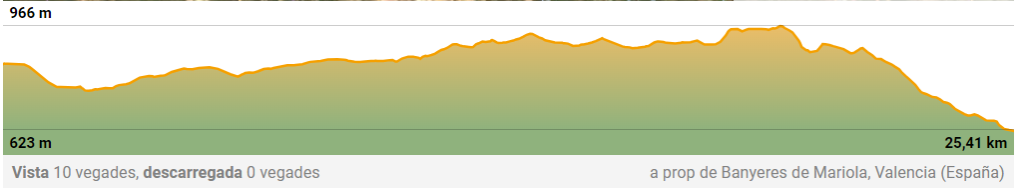
| Distance: 25,41 km |
| Difficulty : Moderate |
| Moving time: 5 h 26 min. |
| Average speed: 4,7 km/h |
| Route type: linear, one-way only |
| Maximum Altitude: 966 m |
| Minimum Altitude: 623 m |
| Positive elevation: 460 m |
| Negative elevation: 667 m |
ROUTE DESCRIPTION:
Starting point: Poliesportiu de Banyeres de Mariola
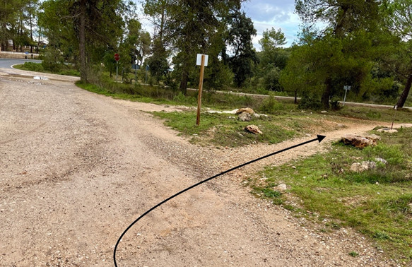
We will take the GR 330 towards Alfafara
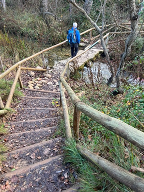
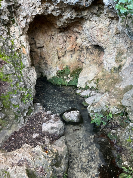
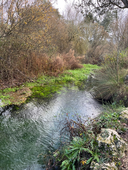
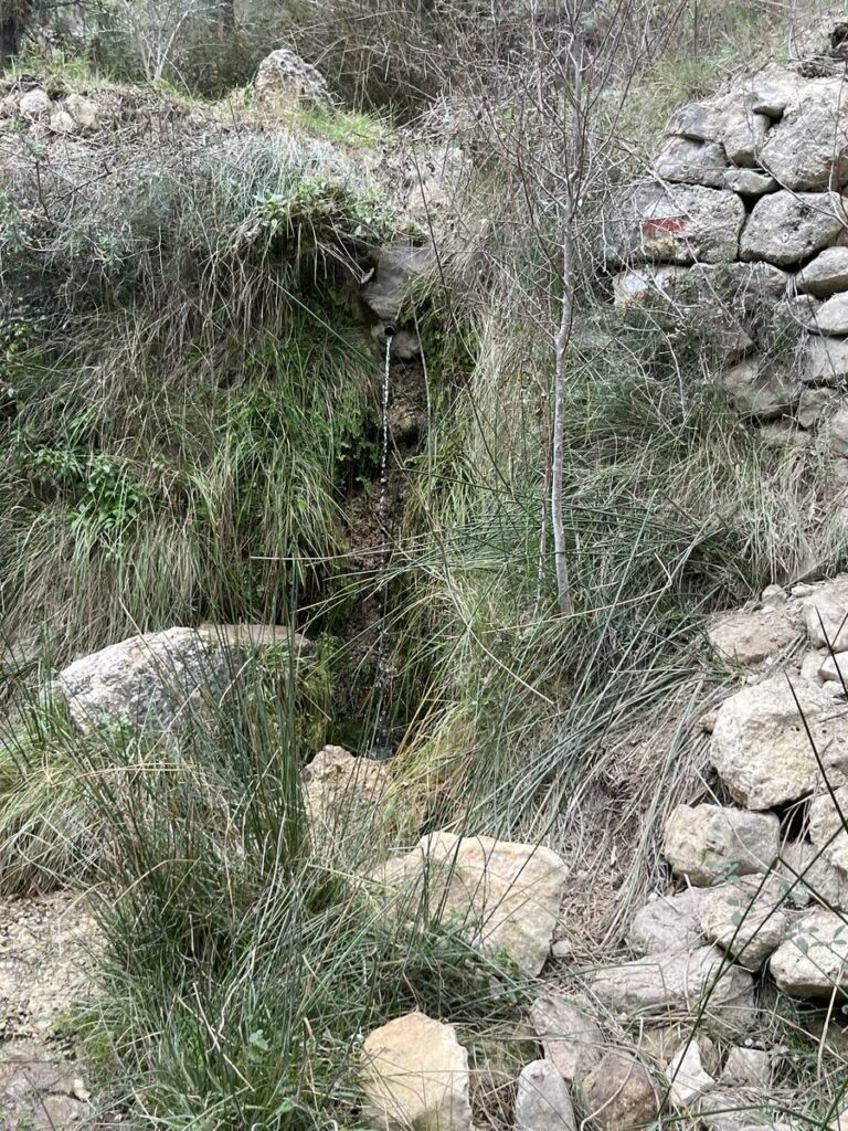
Leaving the river to the left, continue to the Fuente de la Coveta, which gives flow to the Vinalopó River.
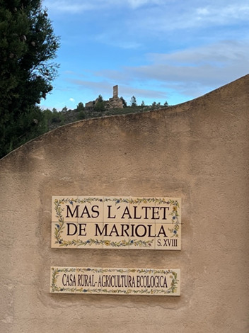
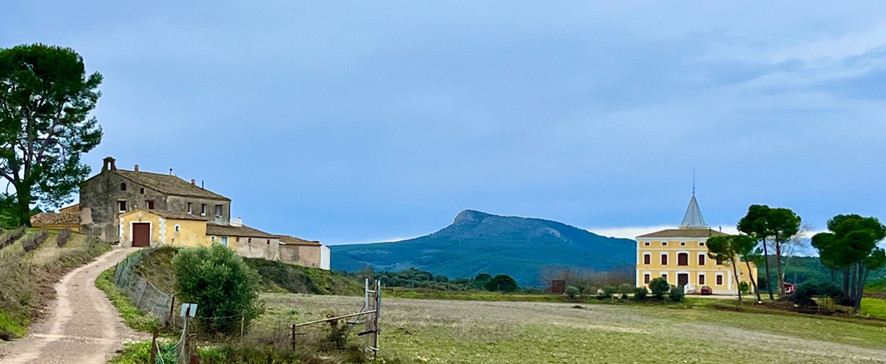
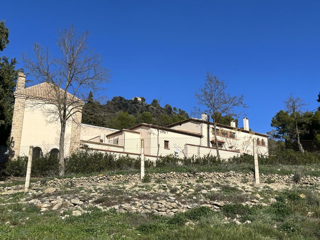
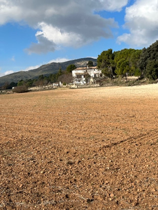
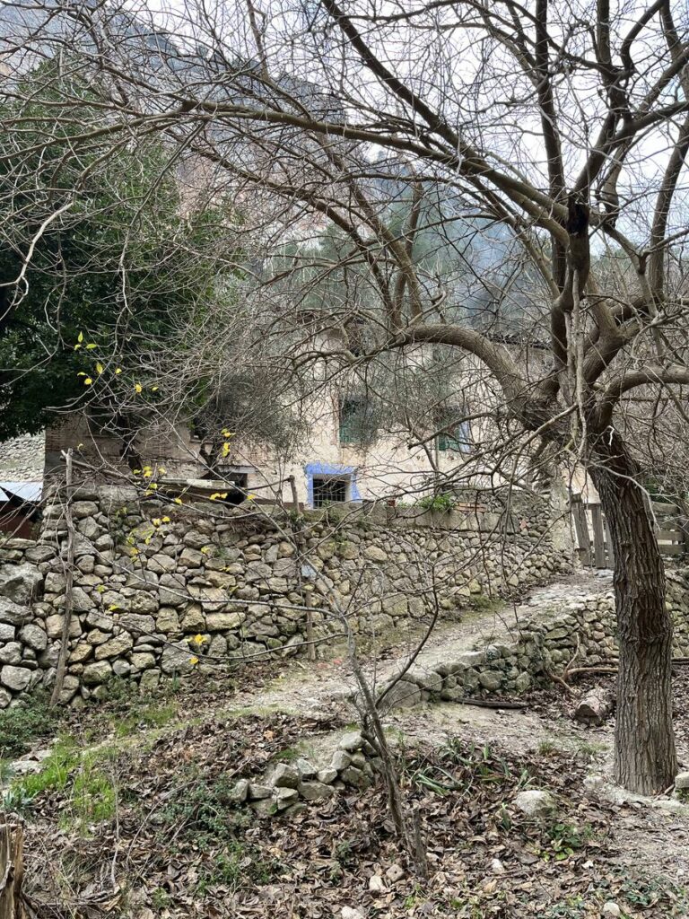
Pass El Mas de l’Altet de Mariola, in the back the Torreta, Mas del Combregants and Mas Aguilella.
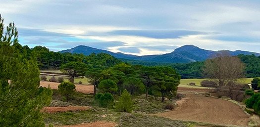
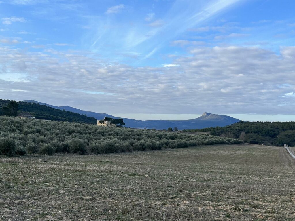
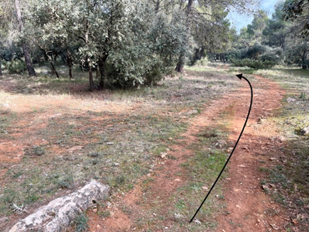
Continue along El camí de Aguilelles path to the Azagador de la Fuente Freda, where we will take the GR 330 that will lead us above the Bocairent – Alcoi road pass, which we know from the previous stage. When we pass the Mas de la Rambla, we can enjoy the Cim de la Blasca behind us, in front the Montcabrer, the Teix, the Cabeçó de la Mariola and all the fields of cultivation of the Vinalopo’s head.
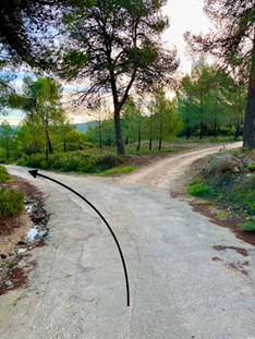
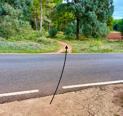
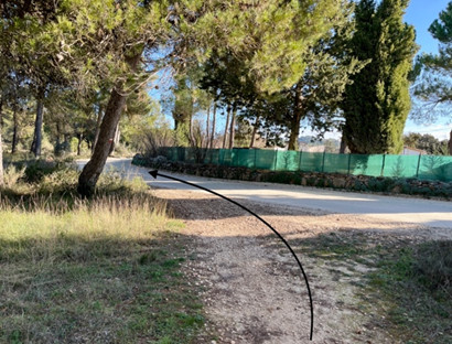
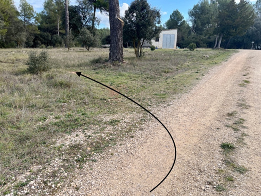
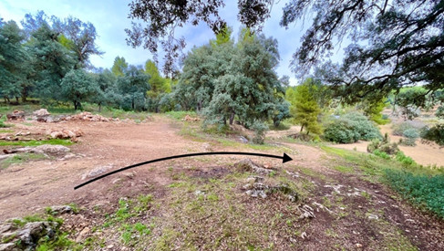
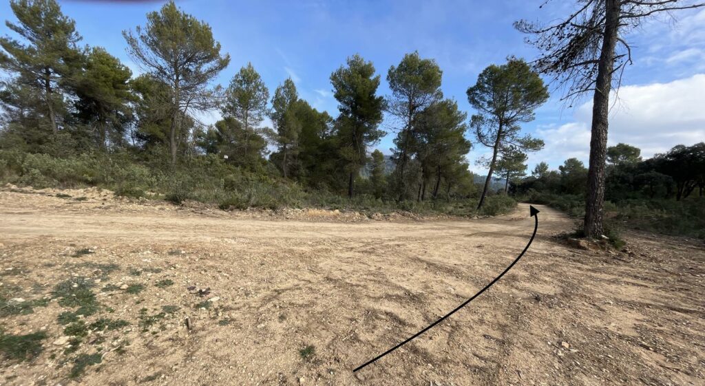
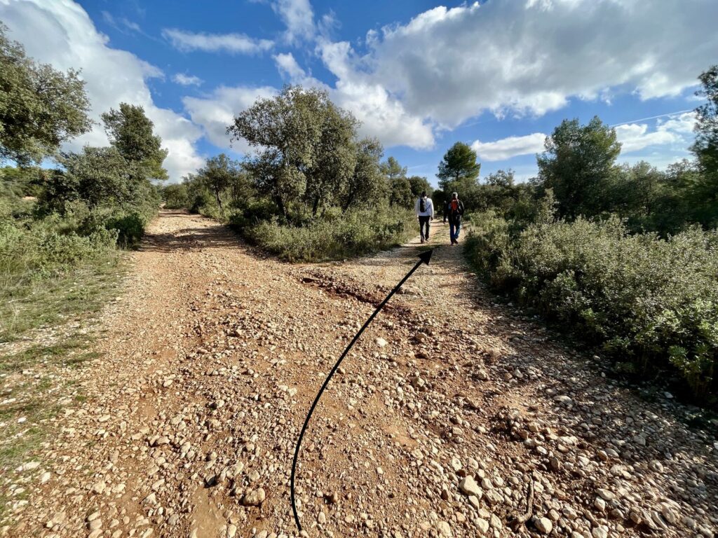
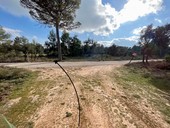
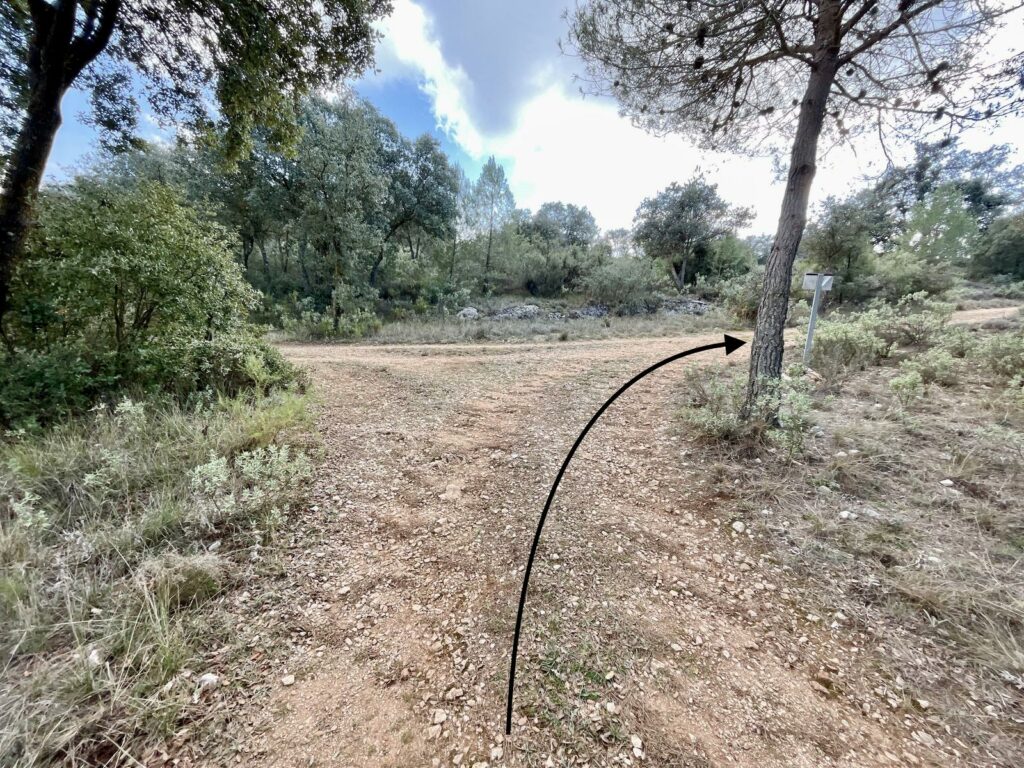
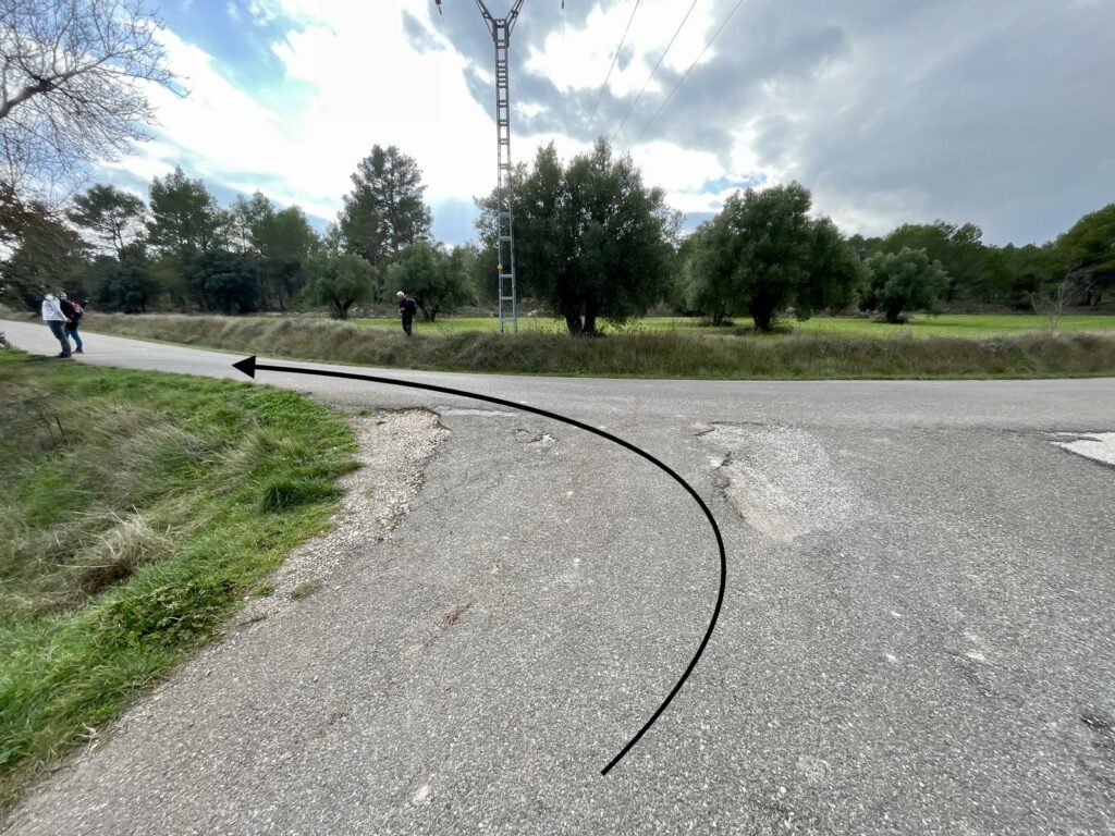
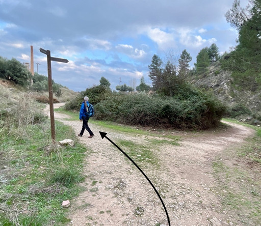
In the next intersections, we will take the left path until we reach the top of the Bocairent CV794 pass. From this point, we will continue on the GR 330 towards Alfafara, parallel to the road. We will pass by the Mas del Portell and House’s of Portell.
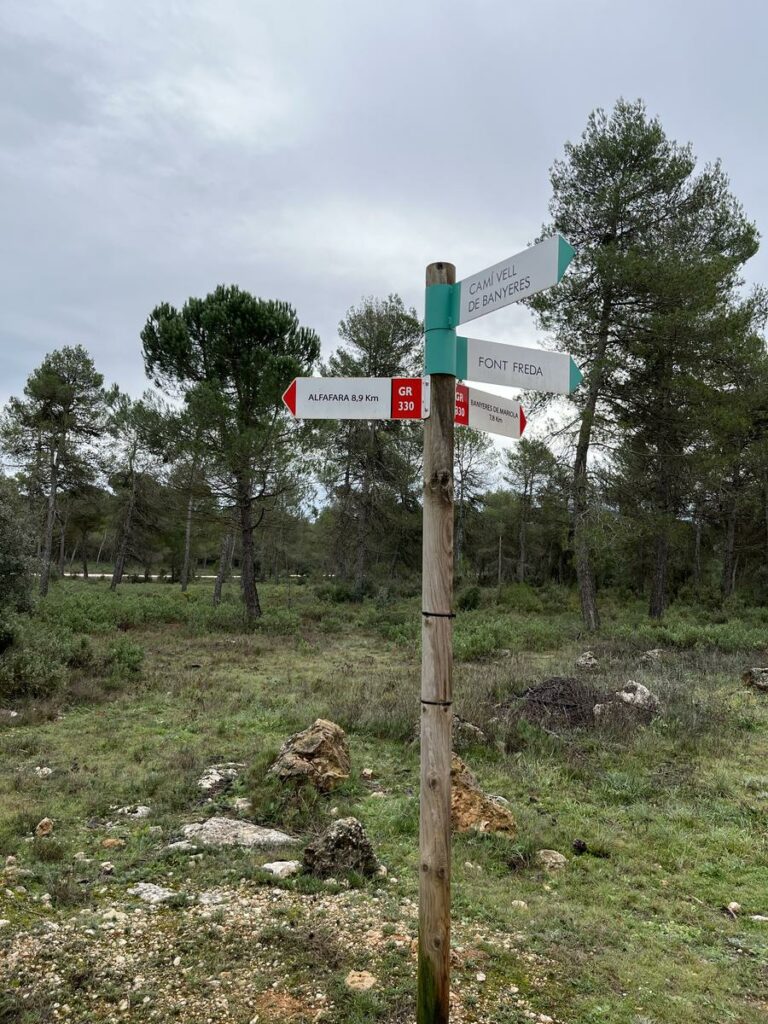
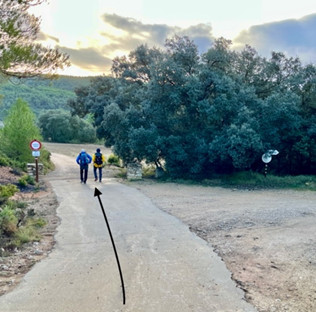
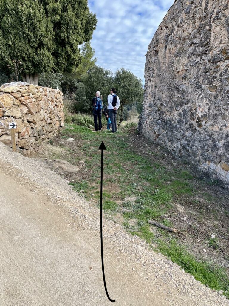
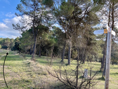
We will leave the trail at kilometer 8.60, for another to the left of the road, to take later the GR 7 direction Ermita de Santa Bàrbera where we will abandon it and follow the path to the right.
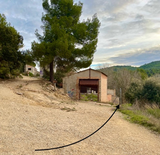
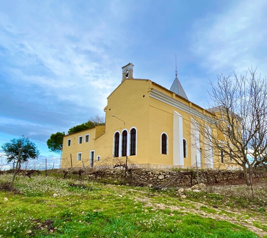
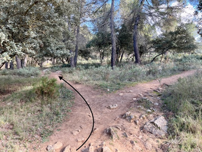
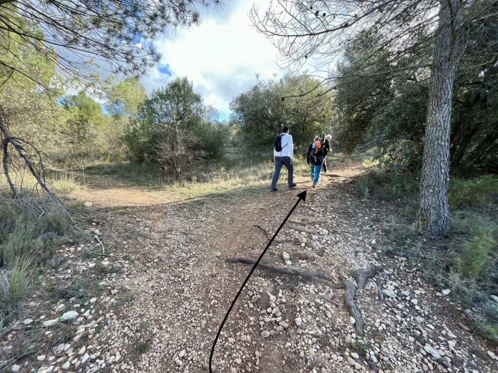
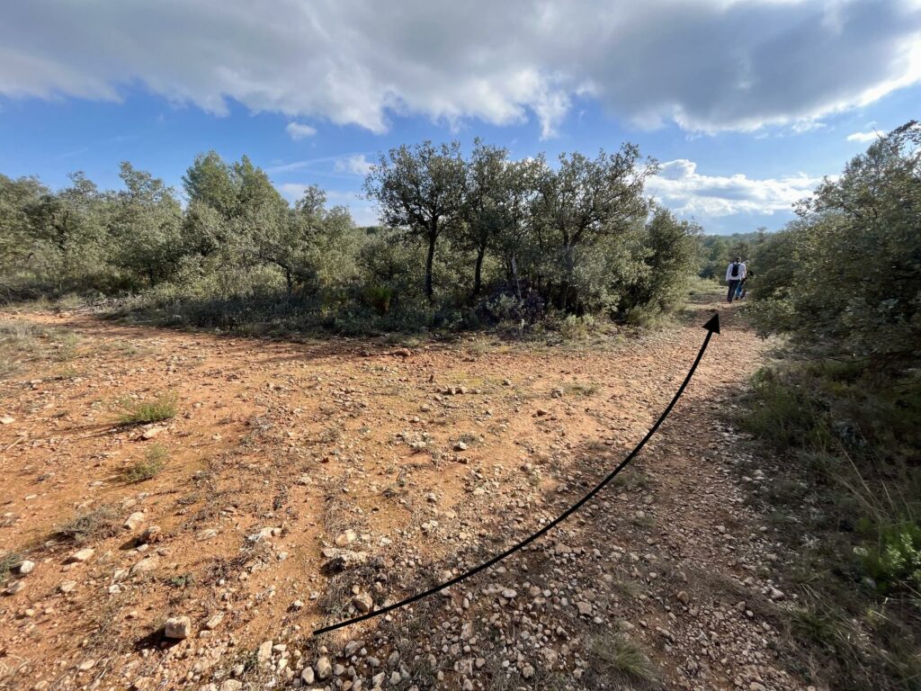
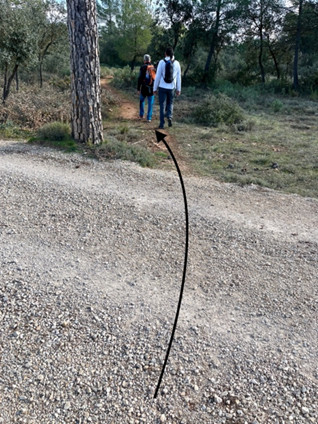
We will pass in front of the Mas de la Fabriqueta and before arriving at the Mas de l’Altet de Santa Bàrbara we will leave the path for the left path. Attention should be paid at all intersections. We will discover the Mas del Cipreret or Mas Secret de Mariola that we will leave to the left to follow our way.
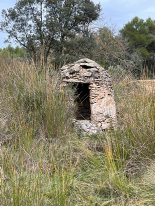
After the Mas Secret de Mariola or del Cipreret, we will pass other intersections, along the way we will see the cover of an old stone well.
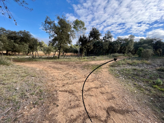
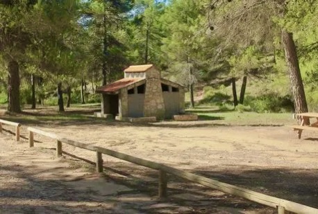
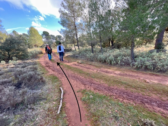
We will take the GR 330 again until the intersection with the PR-CV 370, which we will follow, heading to the Mariola Campsite.
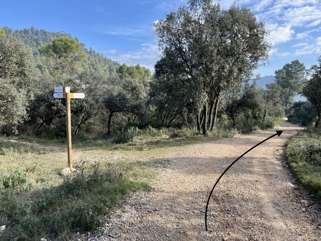
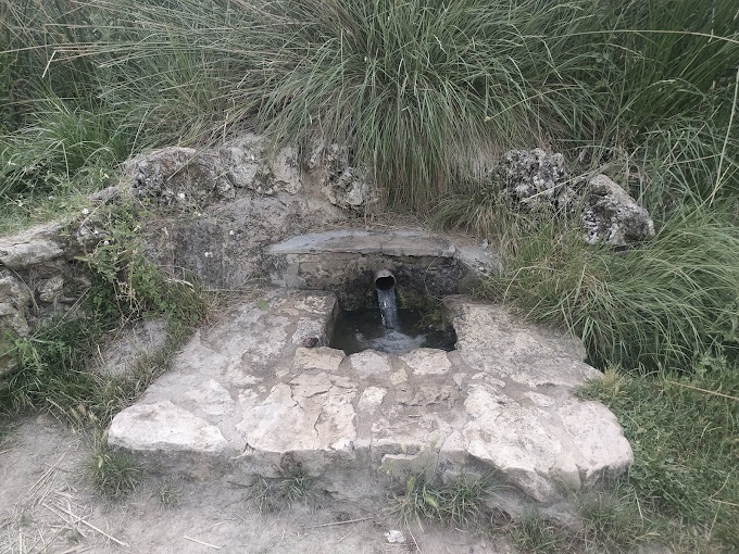
We will continue on the GR 7 until we reach the intersection of the PR-CV 370 in the direction of Cova Bolumini and then the GR 7 that we will continue on until the Mariola Fountain (be aware of intersections).
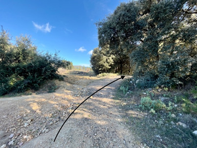
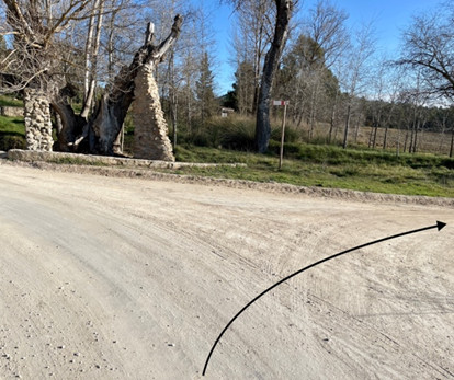
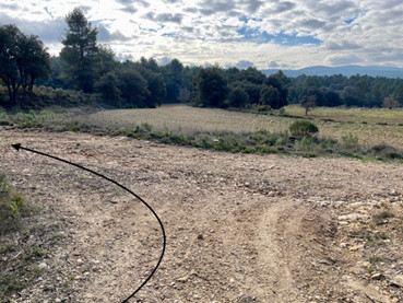
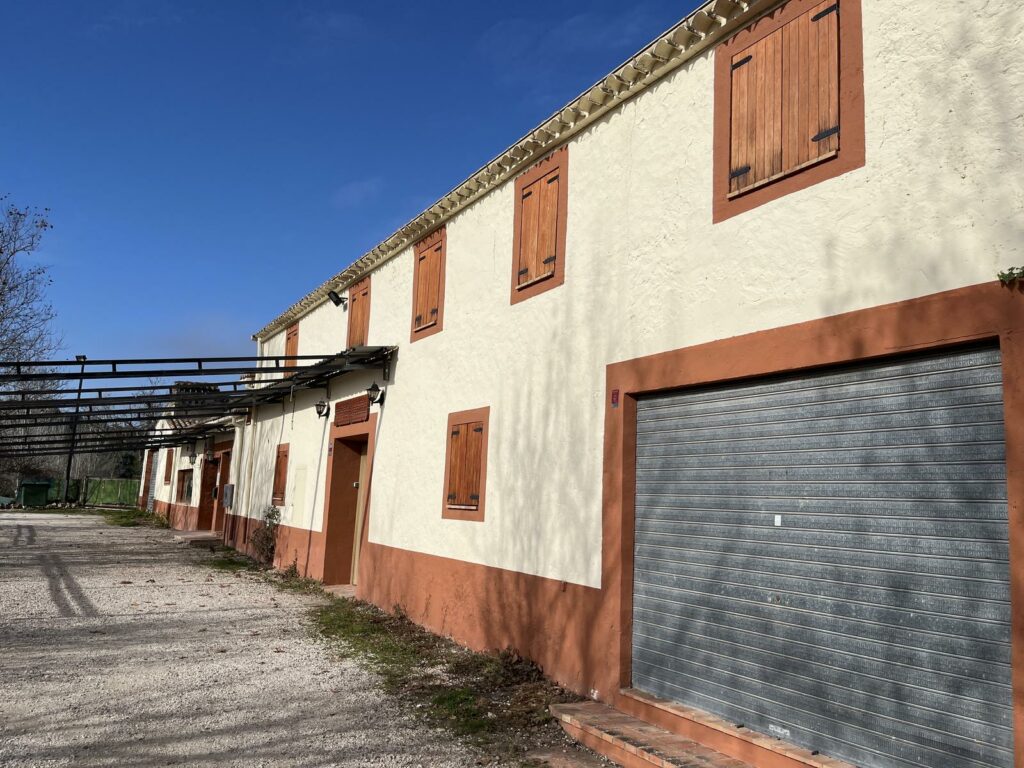
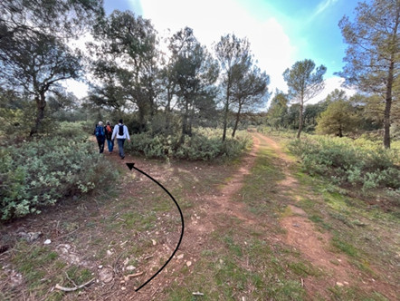
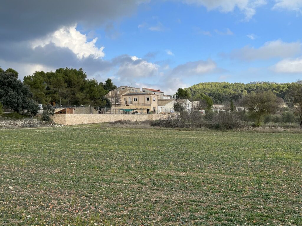
We will follow the path on the left, paying close attention to all intersections and landmarks, as there are many paths and trails. We will pass by Casa Mariola and Mas de Borratxina.
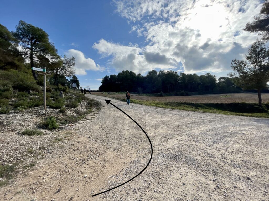
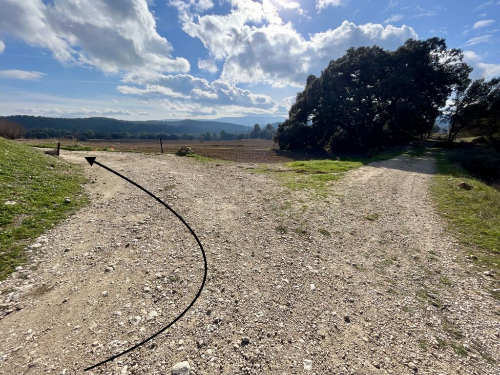
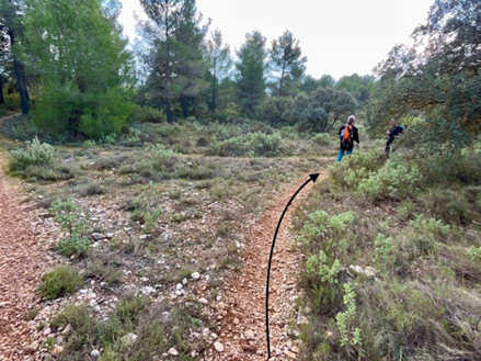
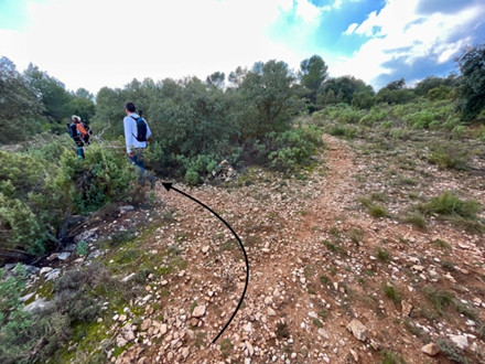
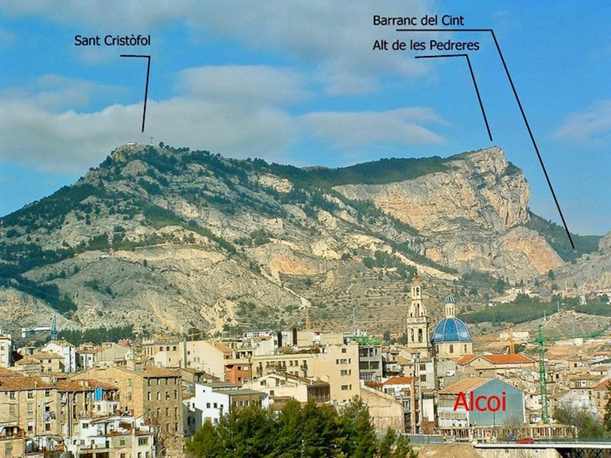
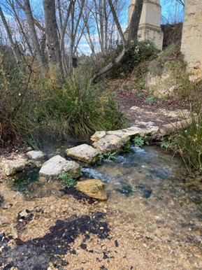
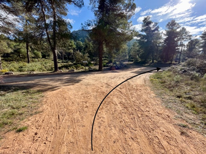
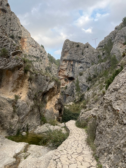
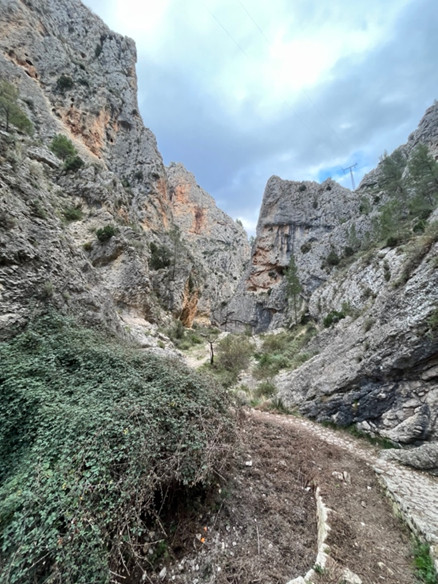
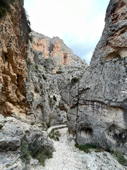
When we reach the Assegador de Mariola road, we will follow it on the left, leaving Caseriu Mariola on the left. Approximately one kilometer (km 21.50) we will see a house on the left, we must take the path that passes on its right, leaving the road of the Assegador. This path leads to Barranc del Cint GR 7, PR-CV 160 (km 22.870), we will pass by Font de la Teula, Font del Pastoret and Mas del Potro.
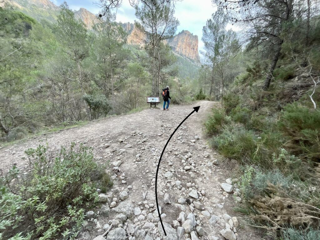
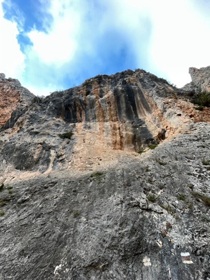
The Barranc del Cint is flanked by large vertical walls of more than 200 meters in height, where a colony of bearded vultures currently lives and inside the Benissaidó river flowed freely (currently it is channeled to provide drinking water to the city of Alcoy). This place is one of the most emblematic and characteristic natural spaces of the city, its silhouette has been, is and will be one of the icons of the people of Alcoy. Inside it, the presence of archaeological sites and L’Alt de les Pedreres (1056 meters) stands out.
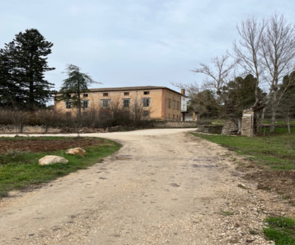
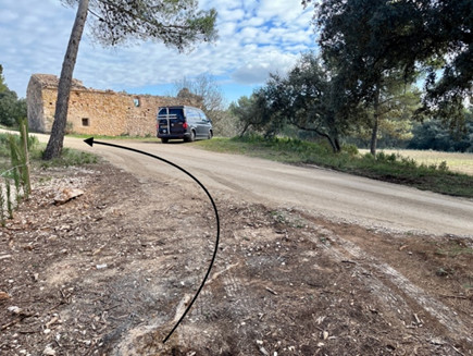
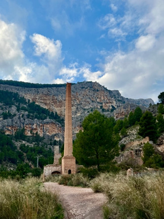
At the end of the Barranc we will take the path on the left that passes in front of the Llonganicer factory (in ruins) in the direction of the Gormaig Urbanization and we will end in the Torre de Cotes parking lot.
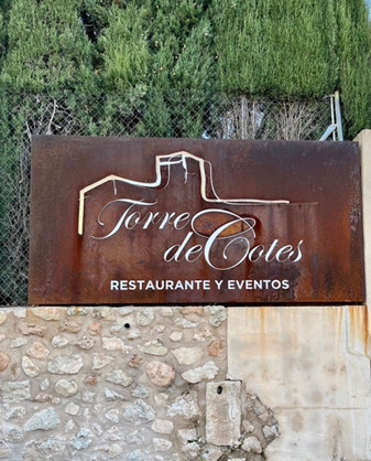
End of 4t. Tram: Tower of the Cotes car park
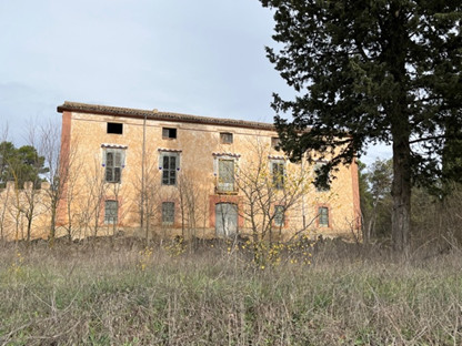
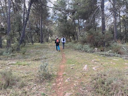
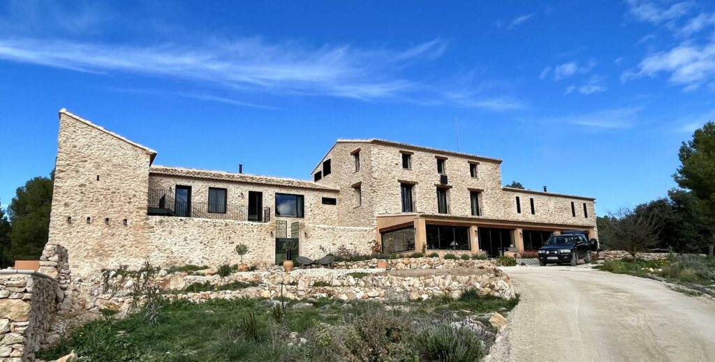
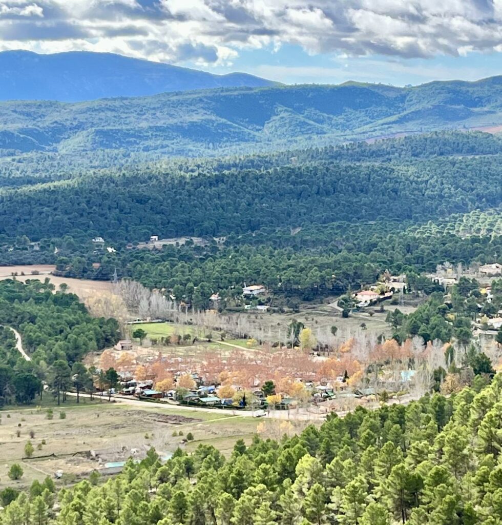
In the long hike, without much incline, of more than 25 kilometers that I did today, I was able to enjoy fountains, ruined masías and other renovated ones dedicated to agriculture or converted into hotels or rural hostels, I walked through pine forests, walked along the Vinalopó river, a small river that flows in this area and empties into Santa Pola, and crossed the Barranc del Cint where we could enjoy the flight of vultures, all before arriving at the end of this stretch: Alcoy.