Palau de Cocentaina square – Dolors de la Verge street – Santíssima Trinitat street – Sant Vicent Màrtir street – Old town – Road to Sant Cristòfol – Sant Cristòfol – PR-CV 37 ecological path – Borràs fountain or Racó de la Mala Cabra – Penya Banyà fountain – Huit Piletes fountain – Viewpoint – Esquererola fountain – Sanxo fountain – Fountain and Mas de Llopis – Montcabrer – Racó Llobet (house, pond and fountain) – PR-CV 56 – Barranc de Reig – Mas del Magre – Quebrantà fountain – Dry Depòsit fountain with a table for resting – connection to PR-CV 277 – follow the descent close to houses in la Plana de Muro (Camí Roca) – Hermitage of Sant Antoni – Muro town
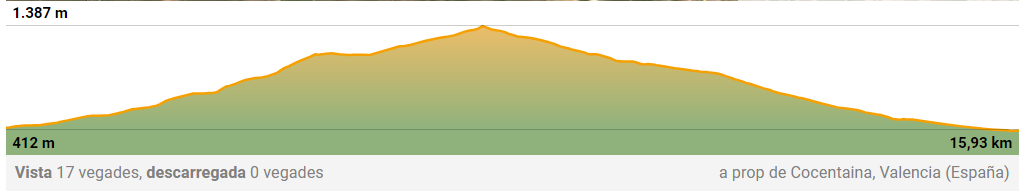
| Distance: 15,93 km |
| Difficulty: moderate |
| Walking time: 3h 57min |
| Average speed: 4 km/h |
| Type of route: linear, one way |
| Maximum altitude: 1390 m. |
| Minimum altitude: 412 m. |
| Positive difference in altitude: 938 m. |
| Negative difference in altitude: 959 m. |
DESCRIPTION OF THE JOURNEY:
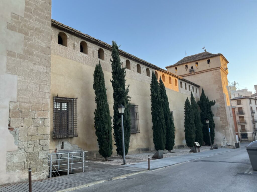
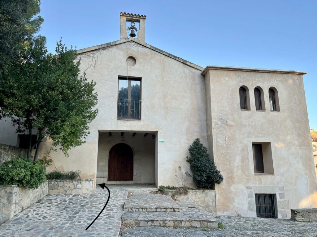
Departure: Palace (Palau) of Cocentaina.
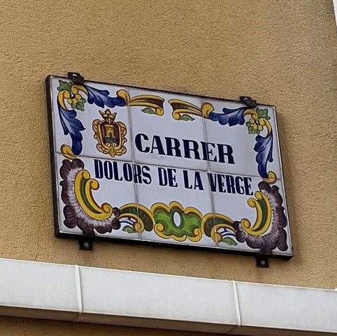
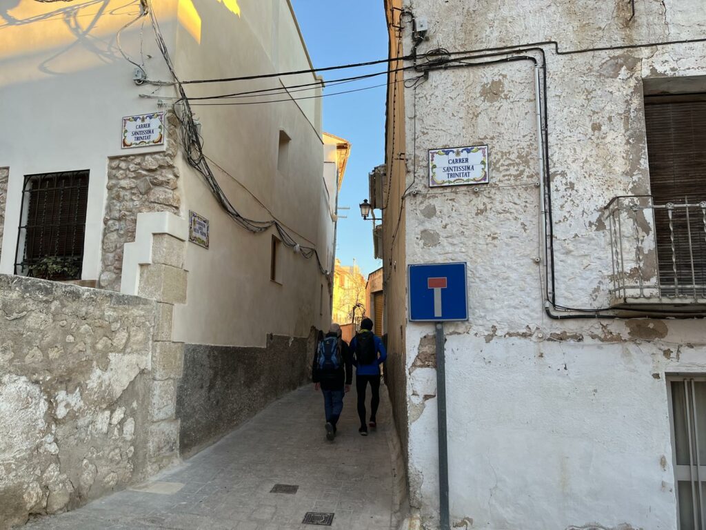
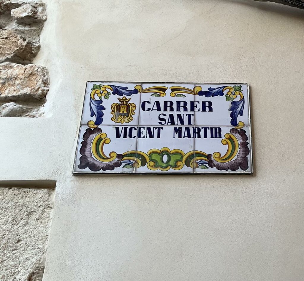
Start walking through the following streets: Dolors de la Verge, de la Santíssima Trinitat and Carrer de Sant Vicent Màrtir, old town.
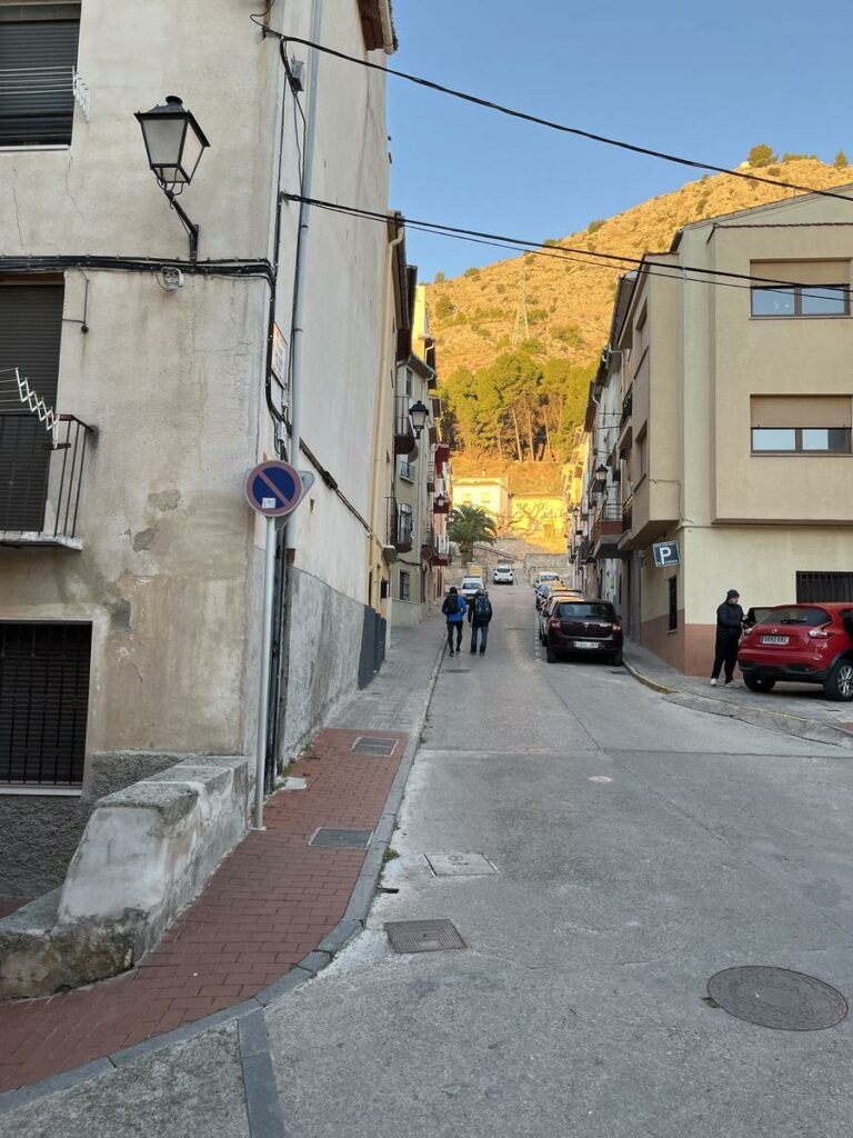
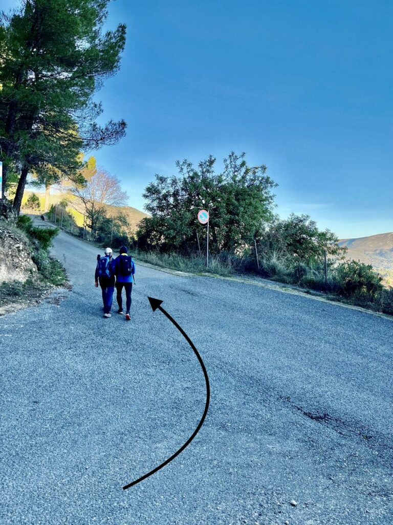
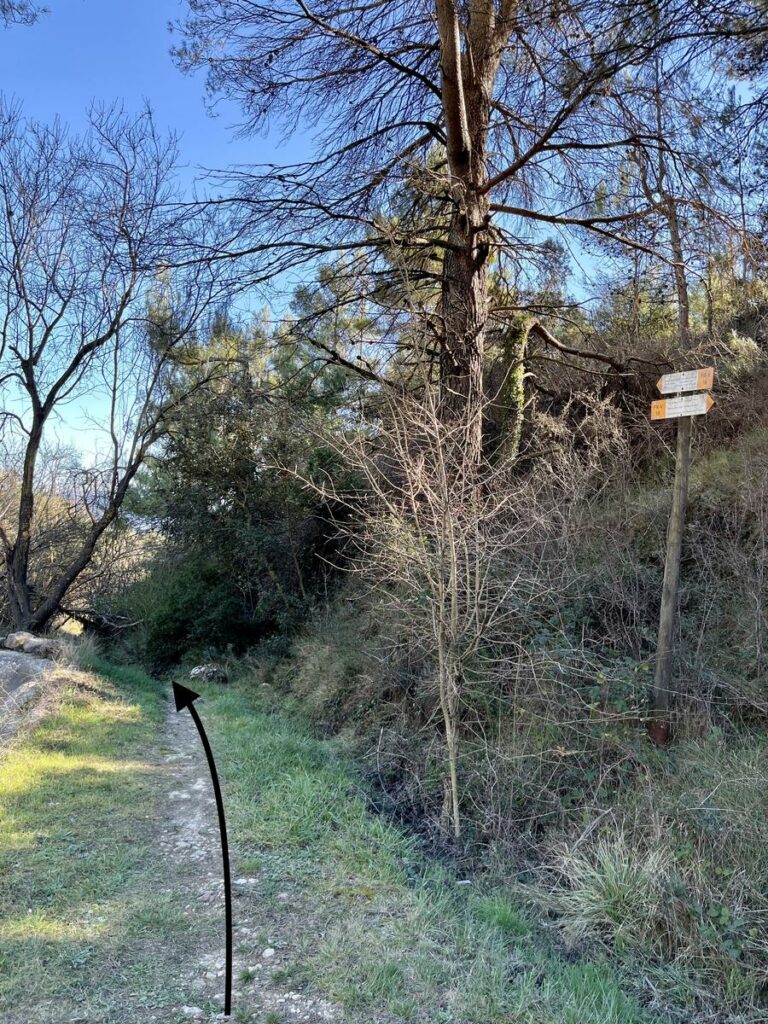
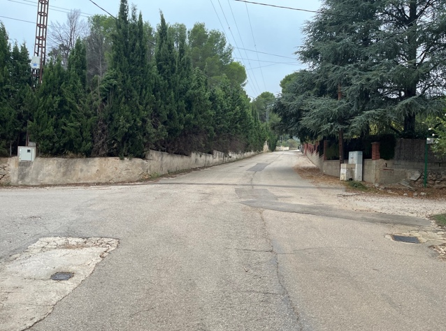
At the end of the walk through the old town, take the pathway to Sant Cristobal Road. Pay attention to the crossings.
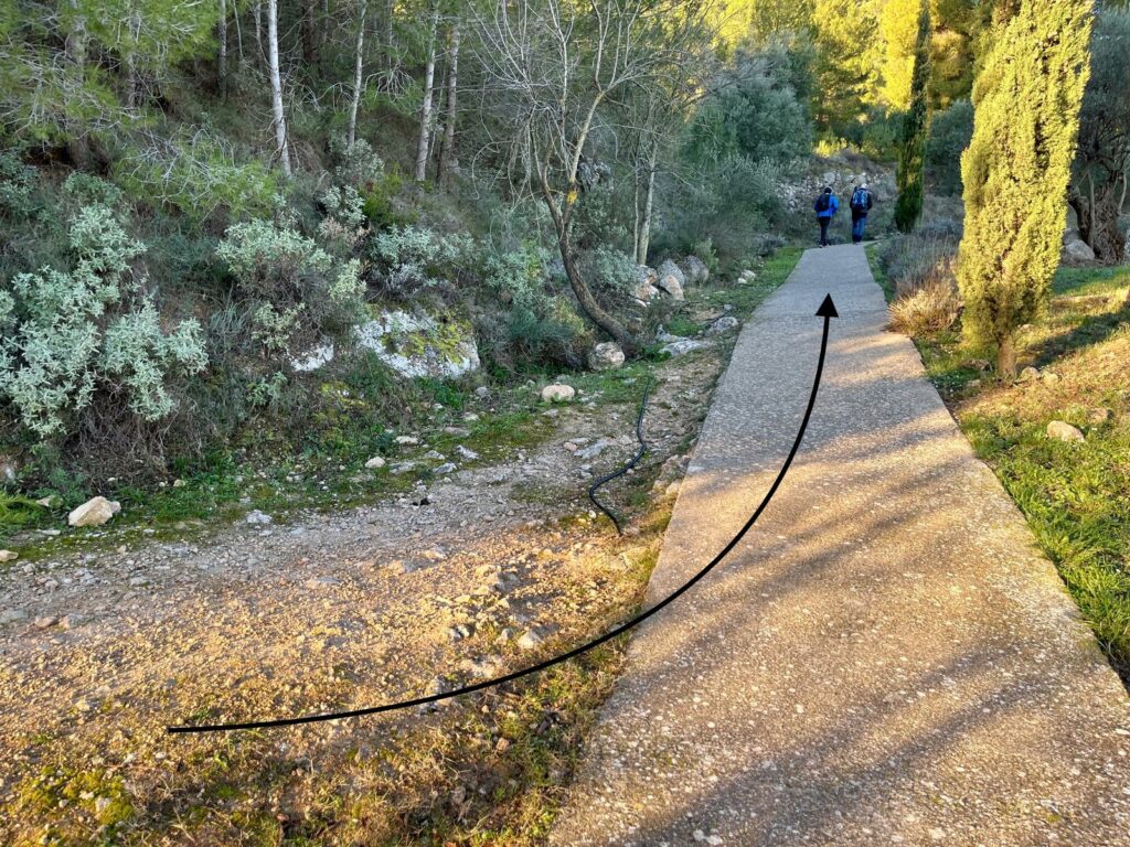
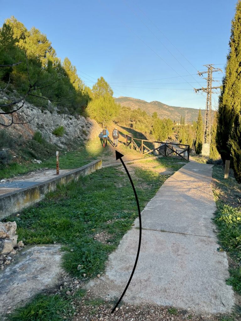
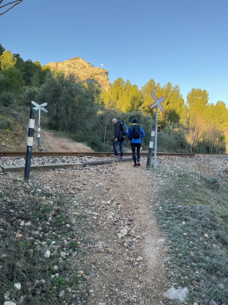
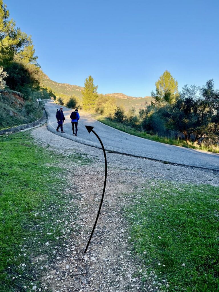
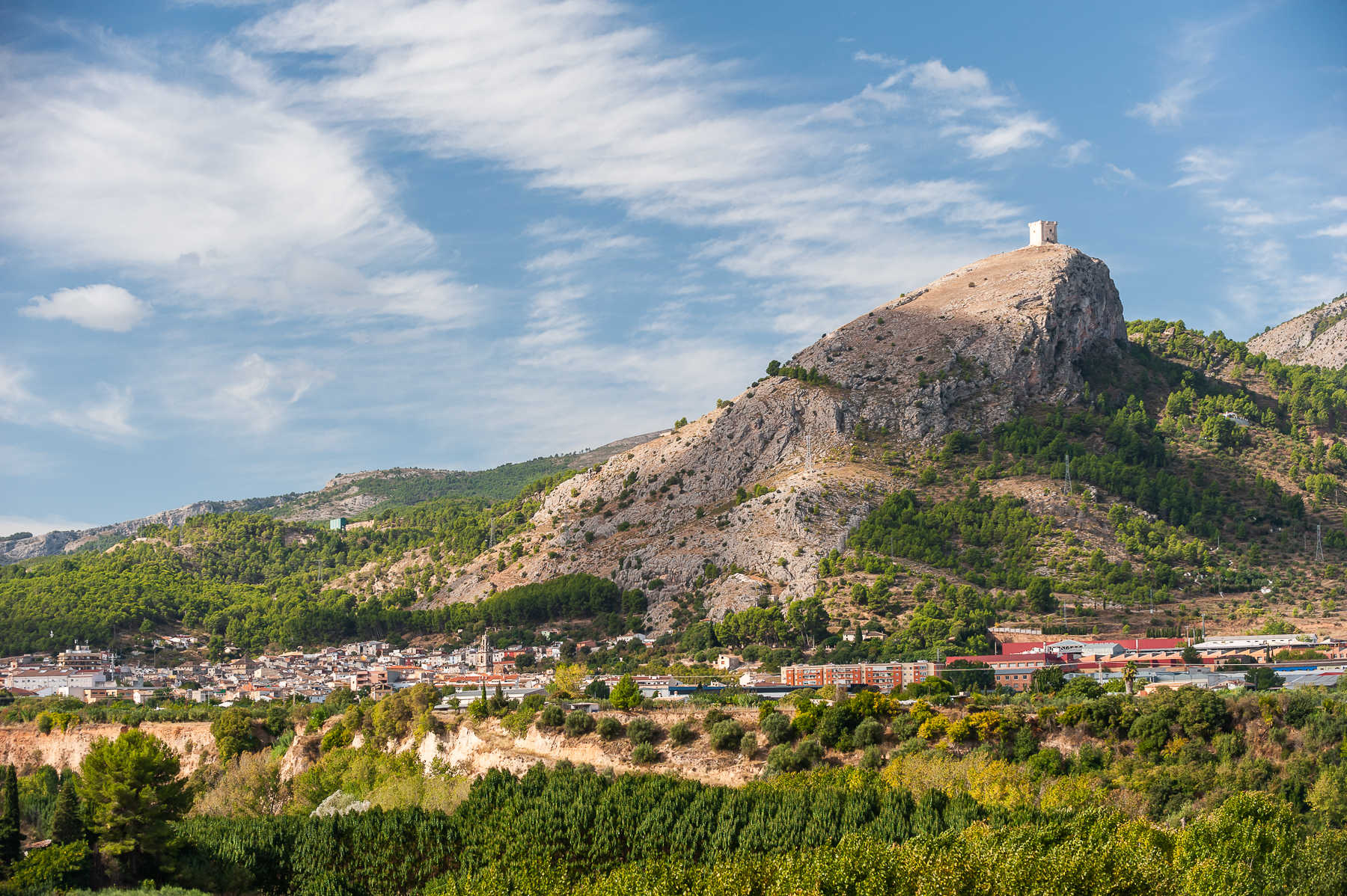
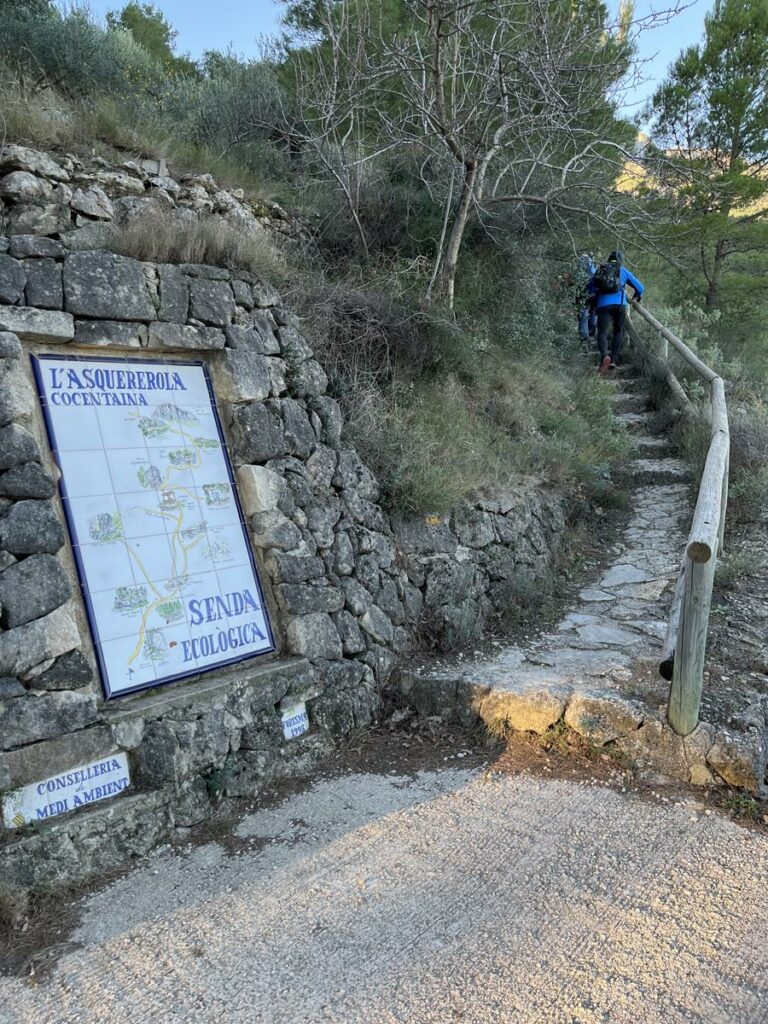
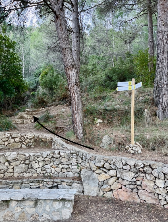
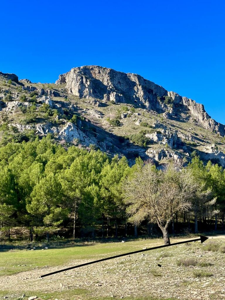
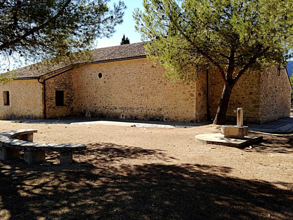
Arrive at Sant Cristòbal and leave the hermitage on the right and take the eco-path PR-CV37.
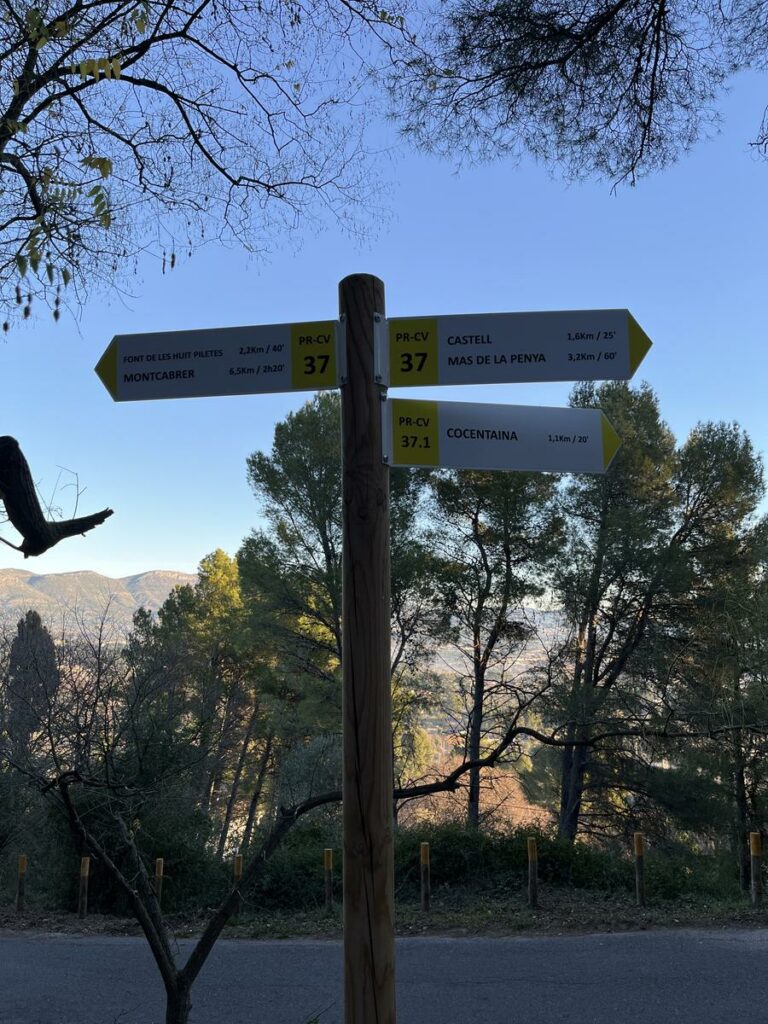
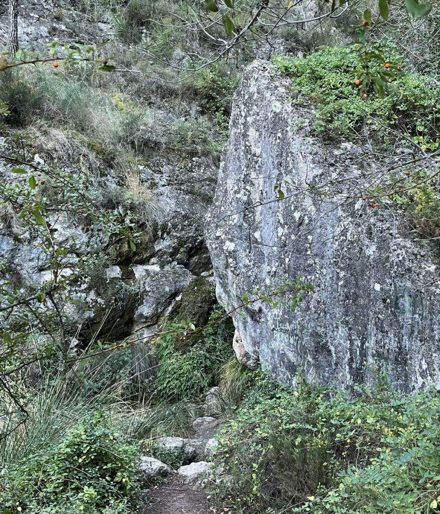
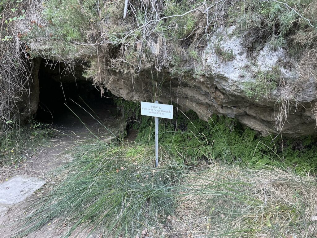
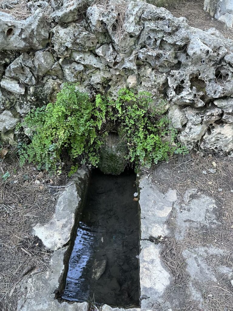
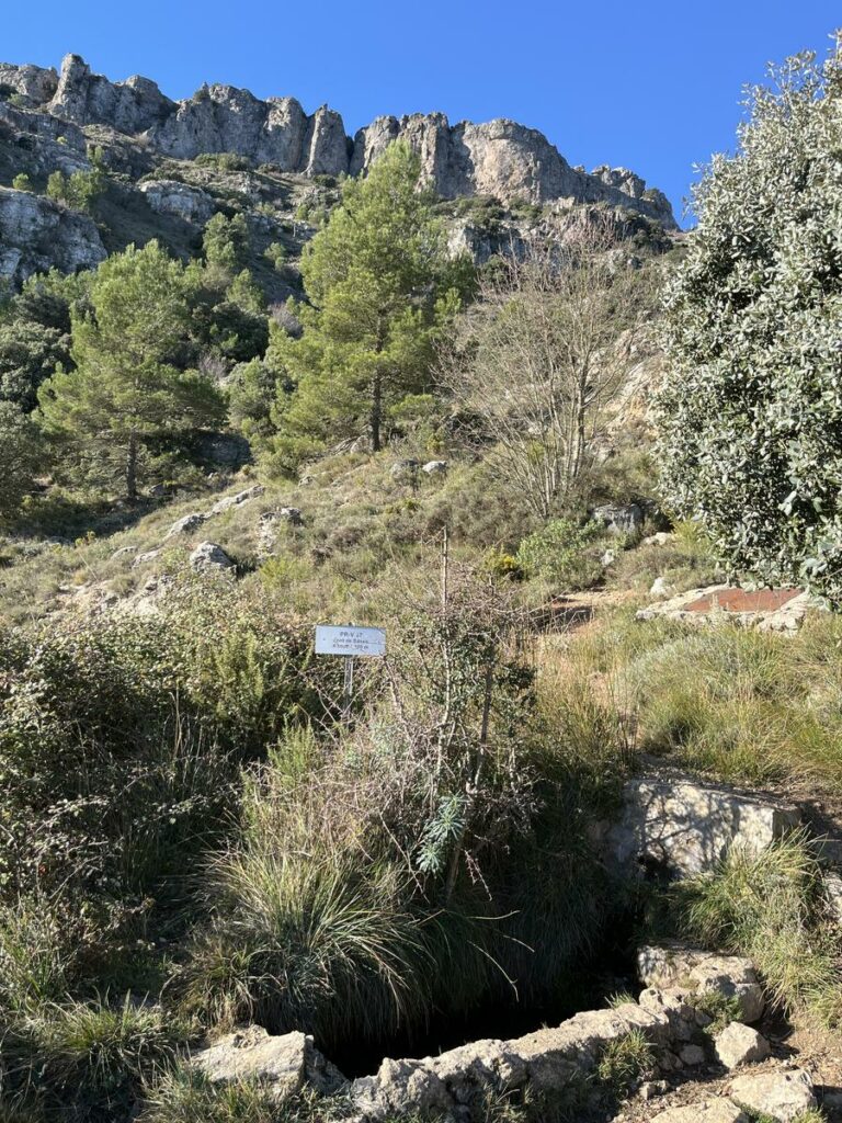
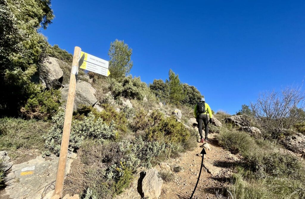
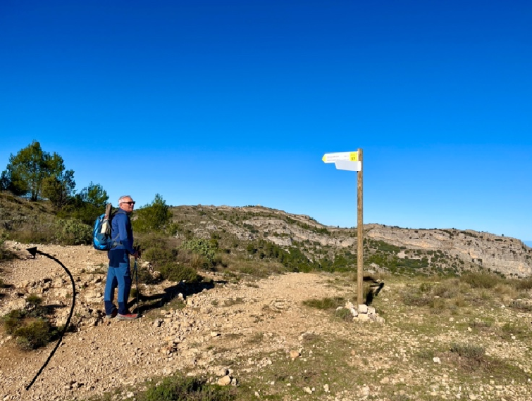
When the paved road ends, the path on the rise takes us to the fountains: Font de Borrás o del Racó de la Mala Cabra, Font de la Penya Banyà. Cross an informative ceramic sign, which shows towns and mountain ranges that can be seen from there, Font de les Huit Piletes, viewpoint, Font de l´Esquerola, Font de Sanxo and Font Mas de Llopis, an excellent viewpoint of Comtat´s towns.
From Huit Piletes fountain, follow PR-CV37 way towards the viewpoint, Esquerola fountain and Sanxo fountain.
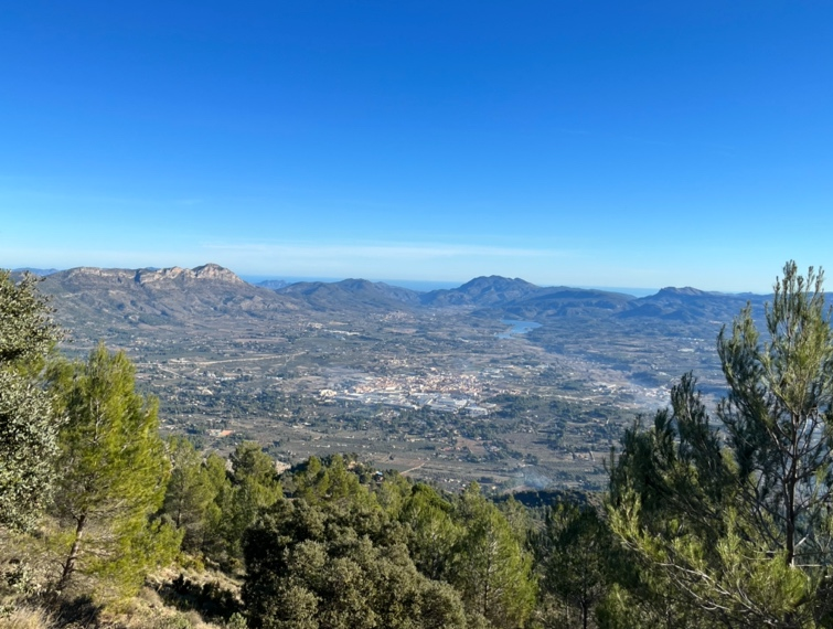
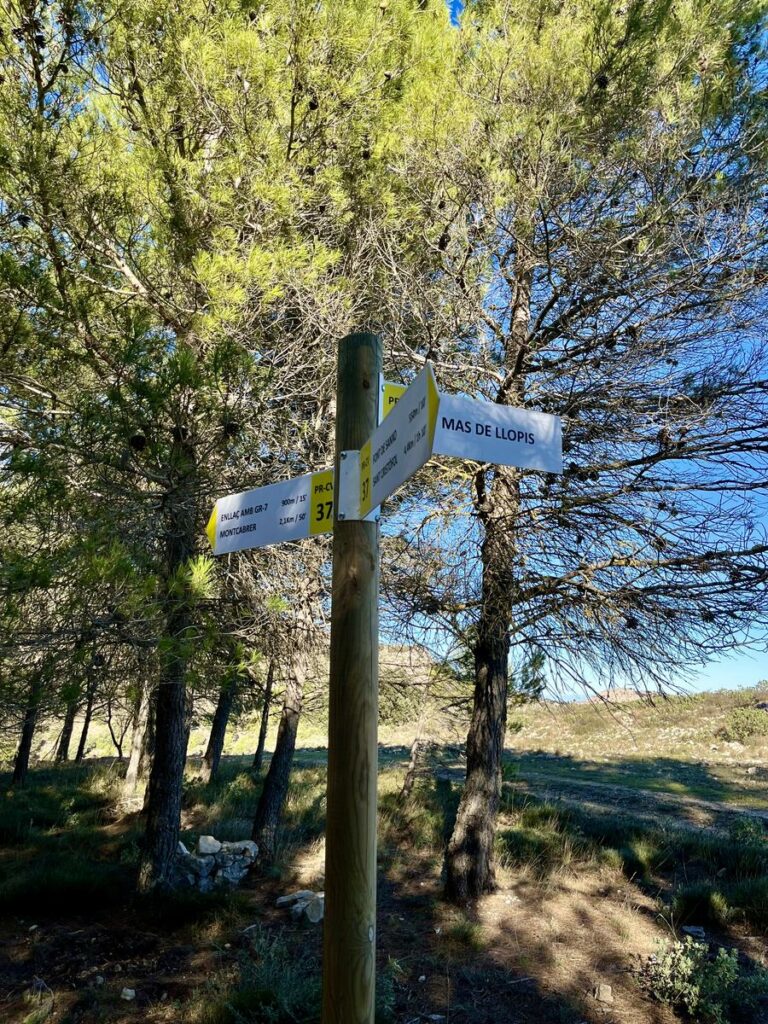
At the end of the path, you arrive at fountain and Mas de Llopis, a great place for enjoying towns as Muro, Gaianes, Beniarrés, Alqueria d´Aznar and Benicadell and Safor summit.
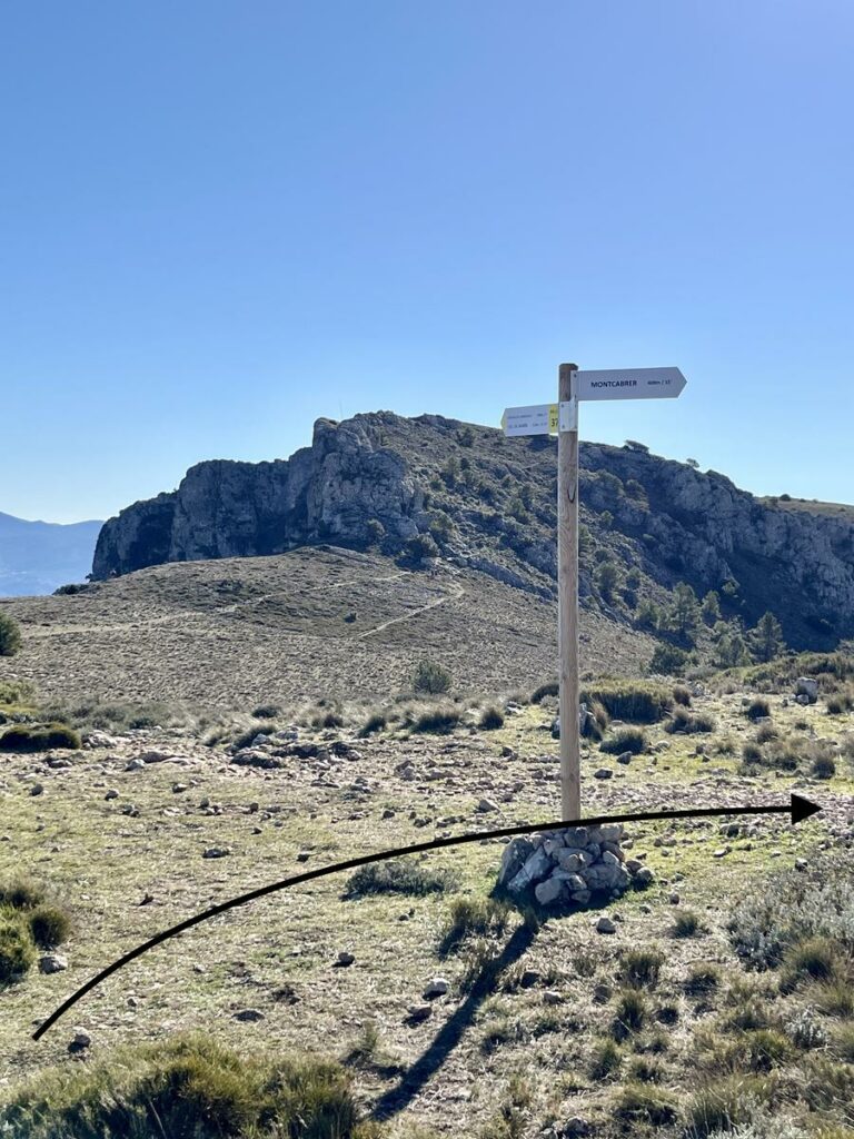
Continue PR-CV37 way to Montcabrer. Once you arrive at the first hill, take the path on the left and walk to the top. Pass Coveta fountain and from the second hill, where you can see les Monteses in front of you, leave PR-CV37 path to continue climbing Montcabrer. The top remains 400 meters only.
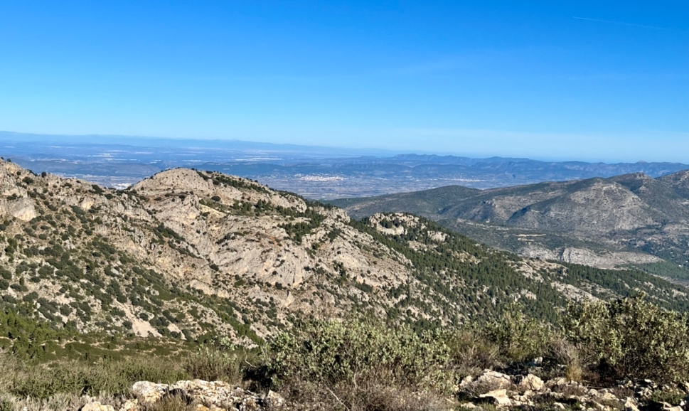
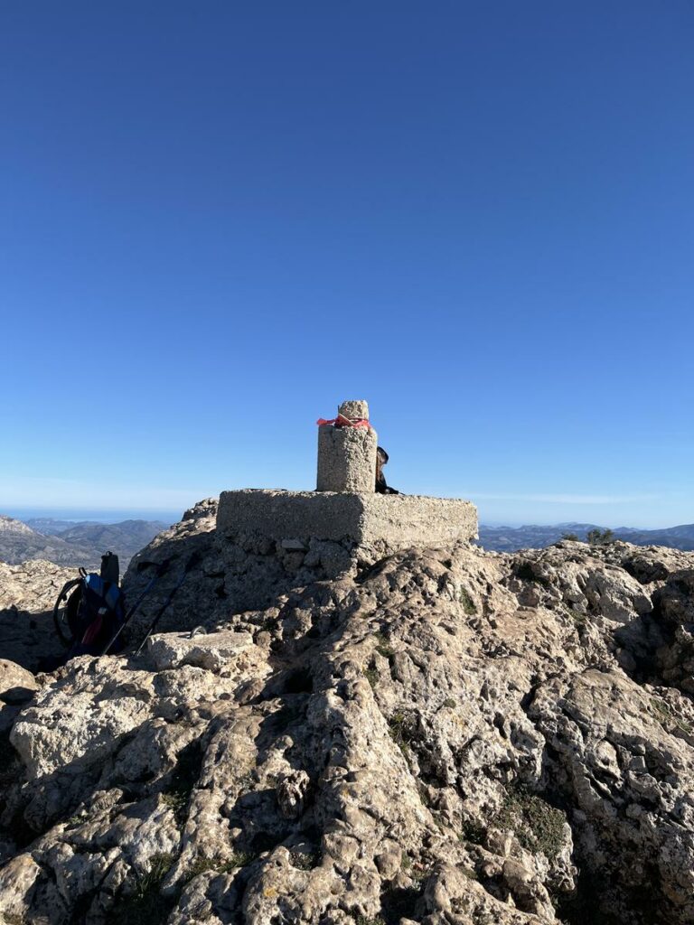
Montcabrer is the highest summit of the Mariola park with 1390 meters. From here you can enjoy an amazing 360 degree panoramic view and main summits of Alacant and Valencia. From north following the clockwise, you can see:
- Mondúver,
- La Serra de Tavernes
- Benicadell
- La Safor
- L’Albureca
- La Serreta d’Alcoi
- La Serrella (Pla de La Casa and El Recincle)
- Aitana
- Les Monteses
- Els Plans
- El Menejador
- El Teix
- El Despenyador en la Serra de Catí
- Tossal de la Creu
- Alt de Fenassosa
- Creu de les Talaies
- La Blasca
- Alt del Portí
- Cabeçó de la Mariola
On clear days, the north of Penyagolosa, Valencia, towns of La Ribera Alta, La Vall d´Albaida, el Comtat and L´Alcoià counties and, of course, the sea.
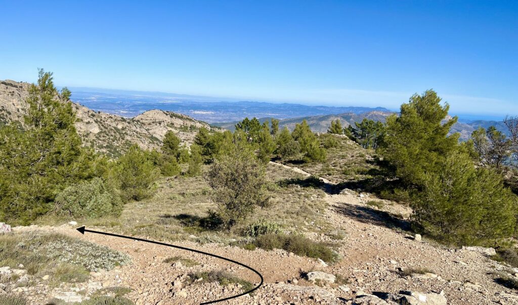
After enjoying the views, take to the same path back to the registration house and take the path on the left.
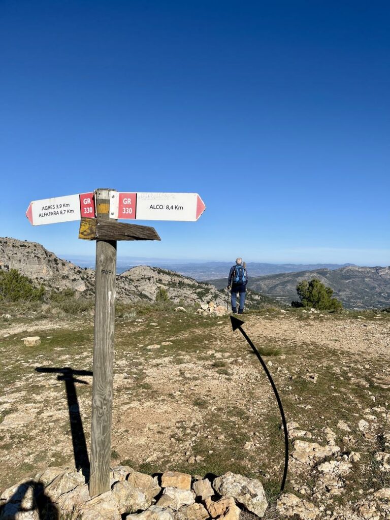
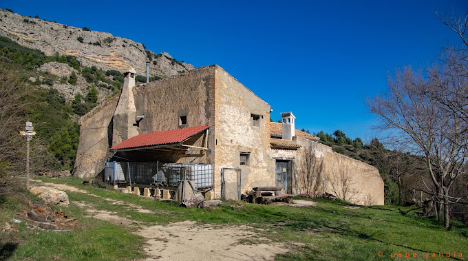
When you arrive at the hill again, leave the GR330 following the path in front, marked with two milestones and continue to Racó Llobet (house, pond and fountain).
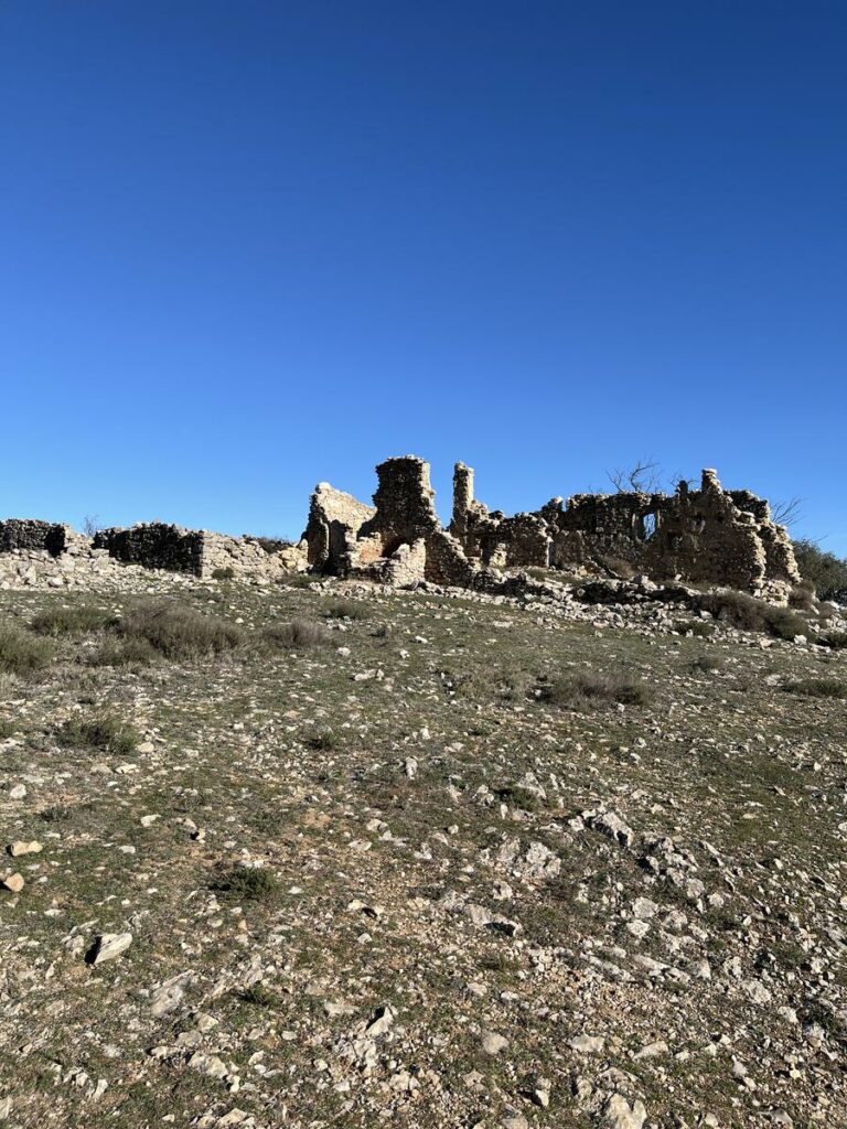
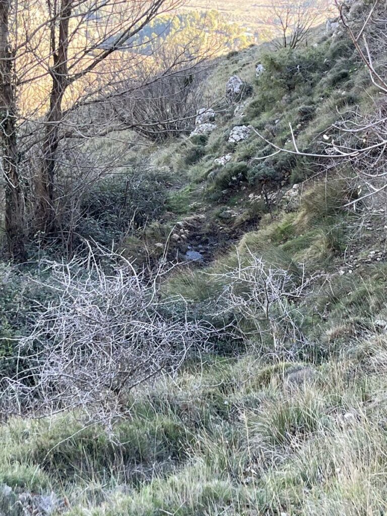
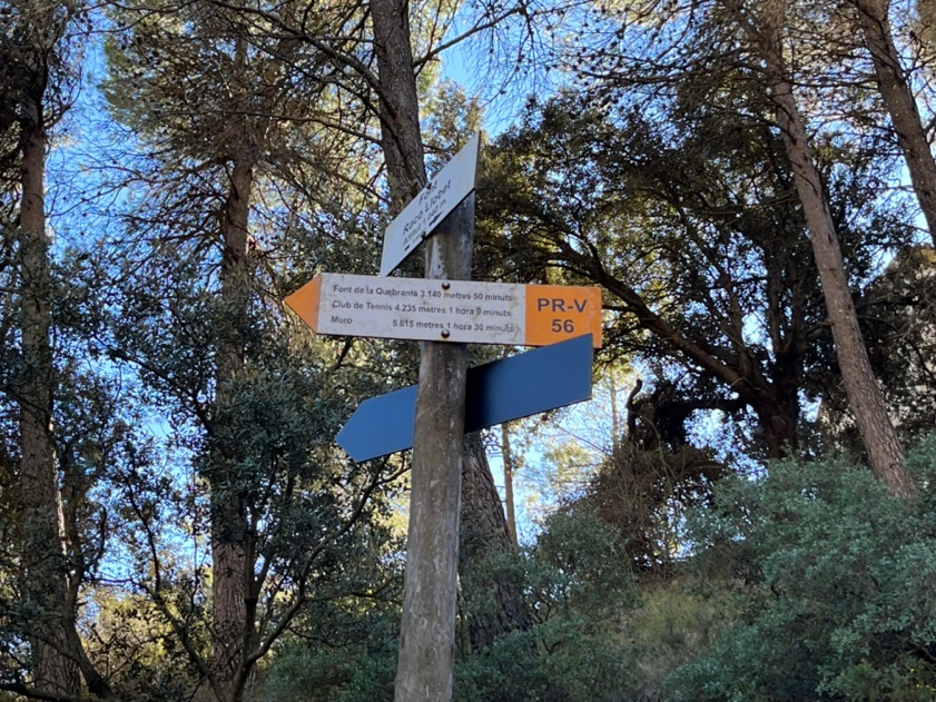
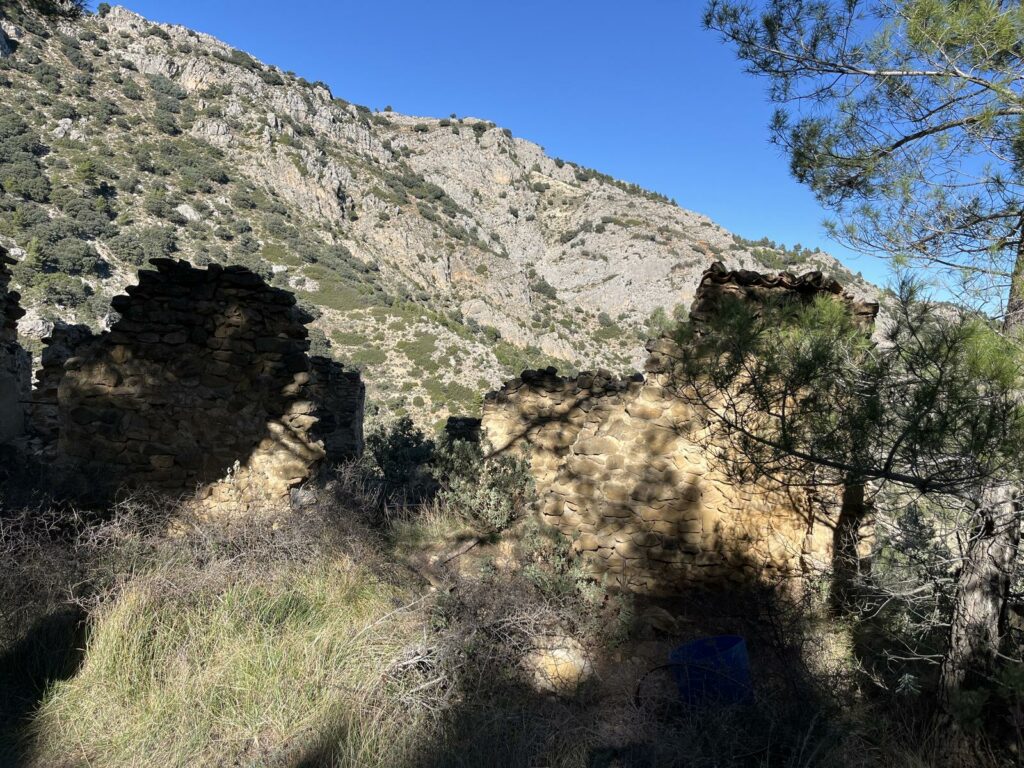
From Racó Llobet continue PR-CV56, path next to the Barranc de Reig until reaching on your right Mas del Magre in complete ruins, and then take the way on the right going down to the end of this path.
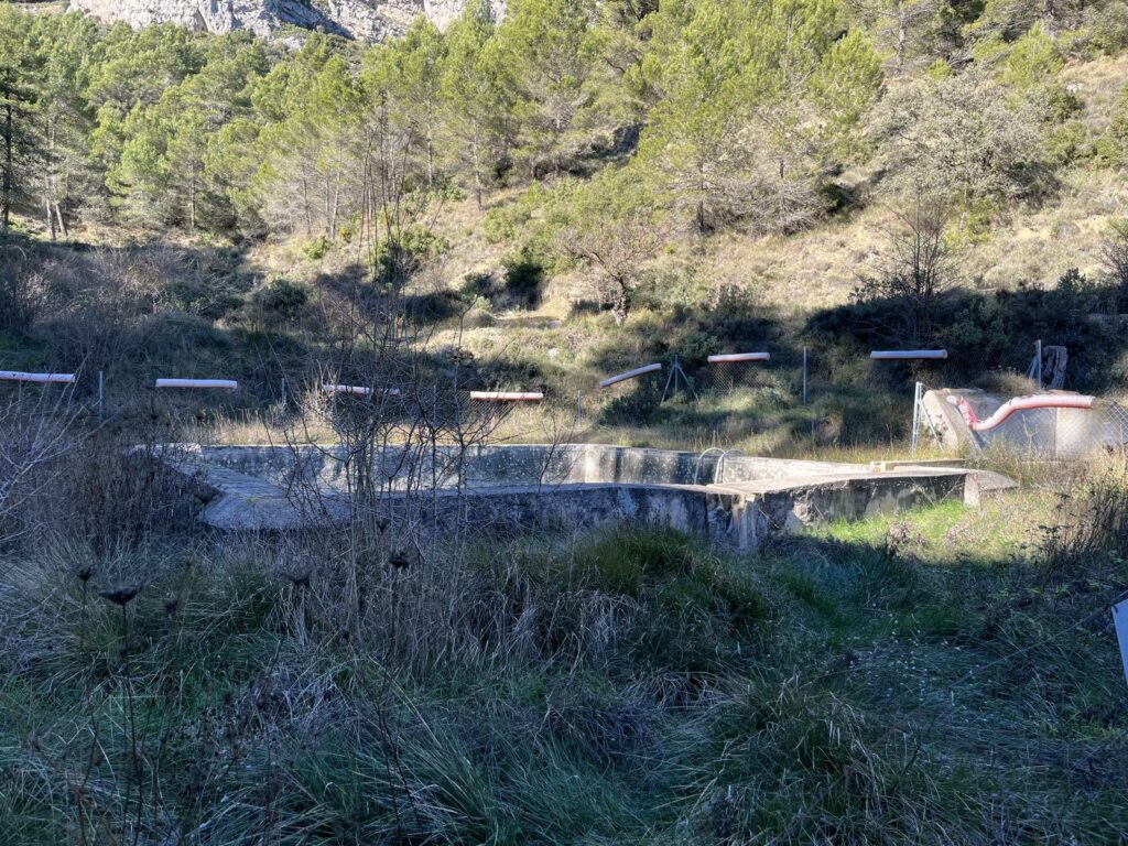
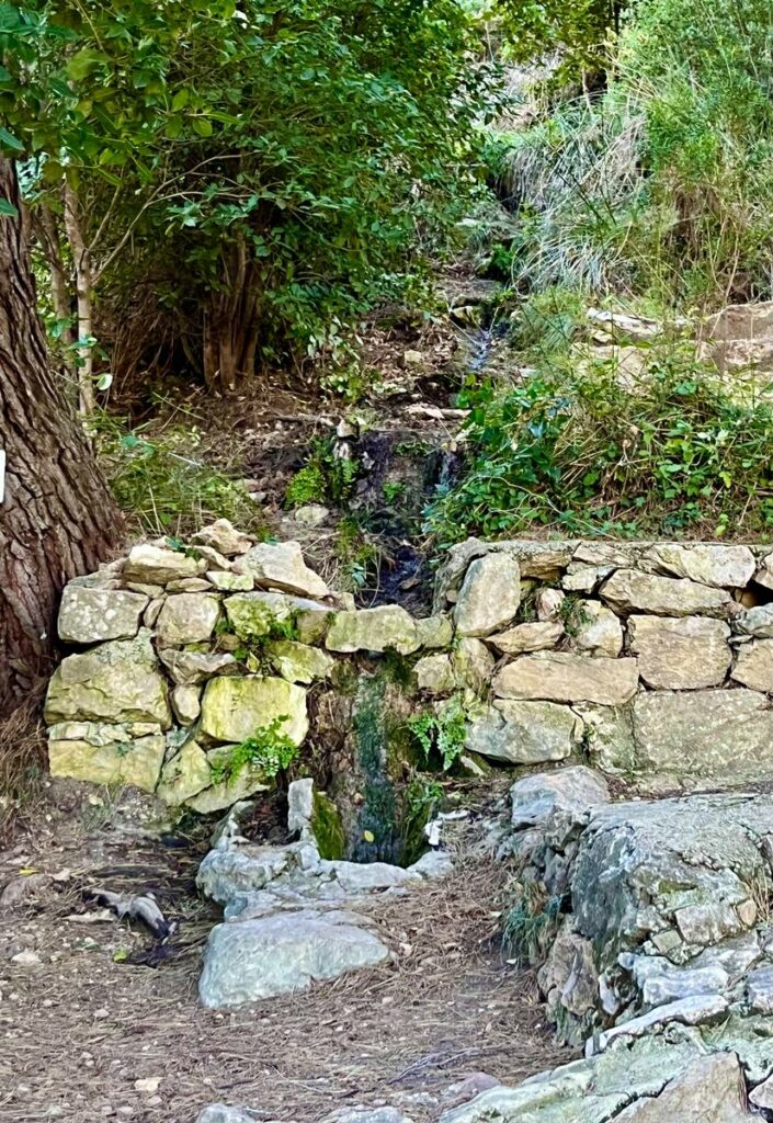
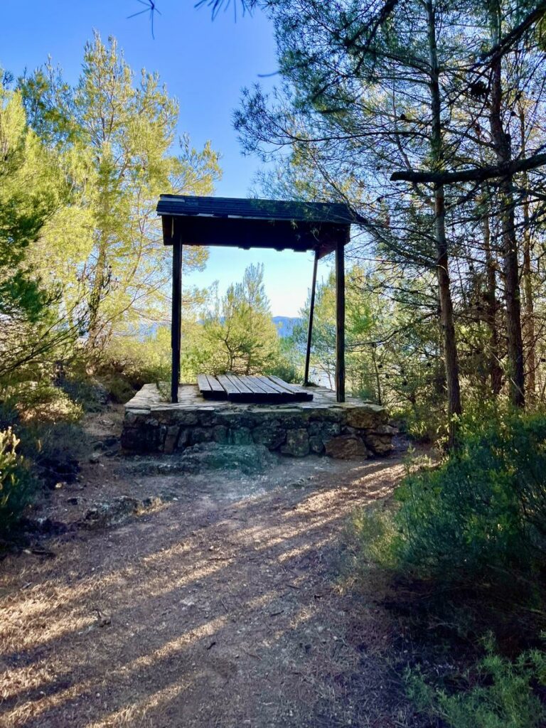
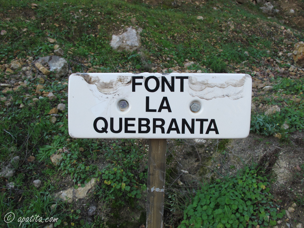
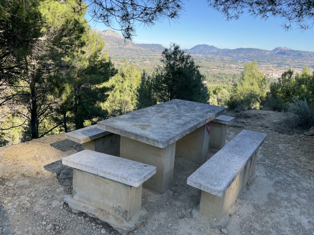
Pass the Barranc de la Quebrantà, a ravine that descends from the mountains in this spectacular facade and stands out for its imposing unevenness. Quebrantà fountain appears and next, the dry Depòsit fountain with a table for resting.
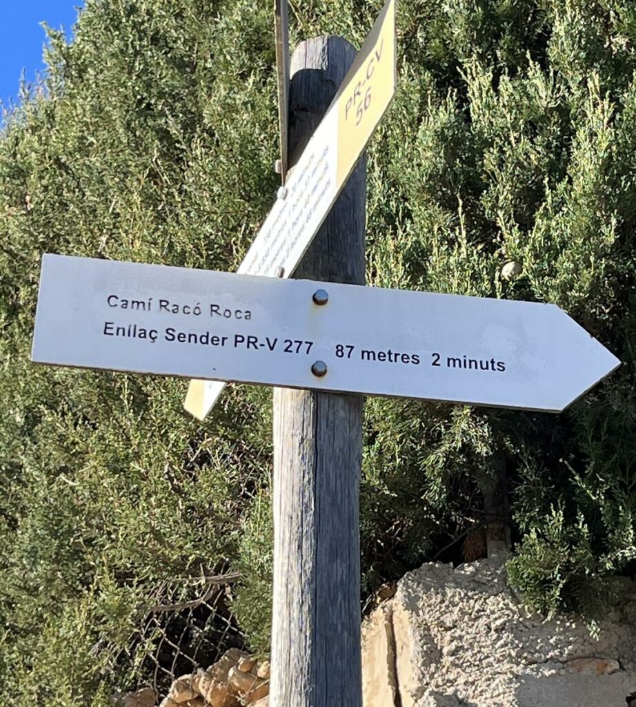
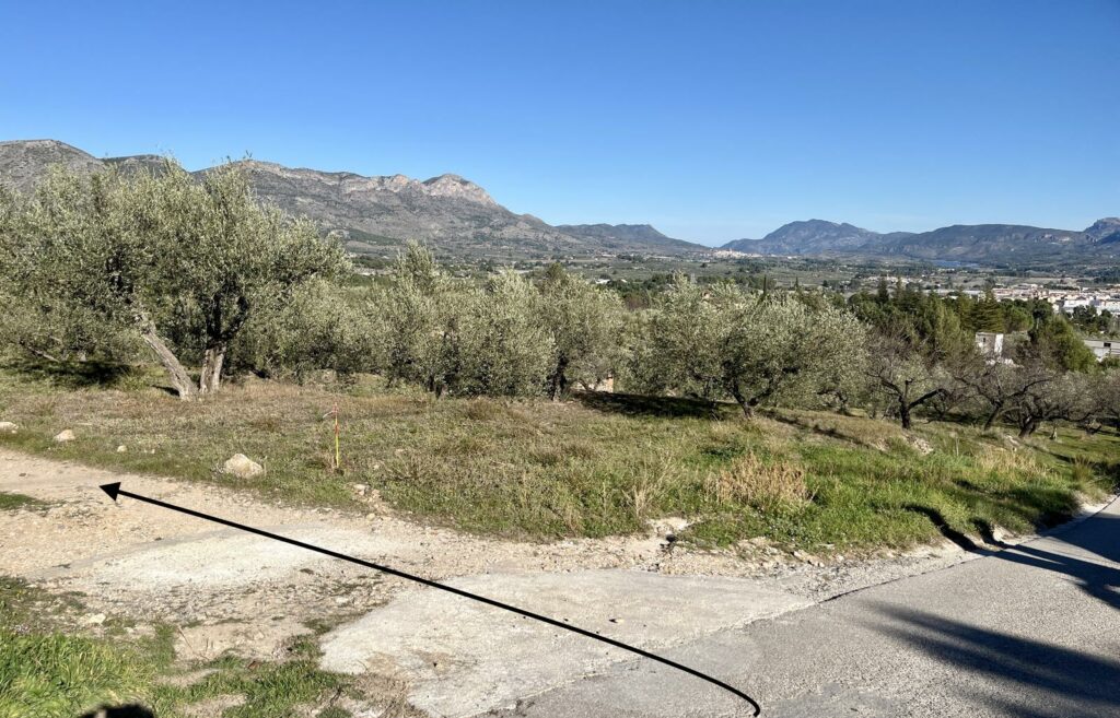
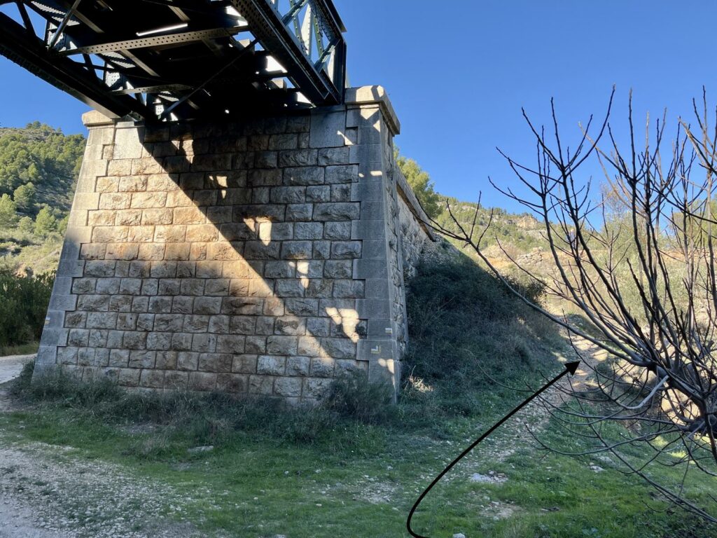
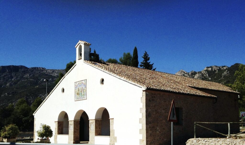
Right from the paved way until the connecting to PR-CV277, take it and leave it after to rise the train bridge and we take it again. Go down passing houses of la Plana de Muro, Camí Roca, until the hermitage Sant Antoni and Muro town where this track ends and the route “Volta de la Mariola”.
This track, along with the first track, have a steep incline and require the great effort. However, offer us the best panoramic views of all Mariola.
You can walk among pines, lindens, ash trees, oaks, maples, yews… and also between a large number of local medicinal plants, sage, rudder, rosemary, chamomile, shepherd’s grape, pepper, thyme, St. John’s wort, rock tea etc. We will enjoy the flight of the vultures and the songs of birds that live in Mariola.