Pàrquing del Santuari de la Mare de Déu del Castell d’Agres – Refugi Zamorano – Paratge natural Molí Mató – Font del Molí Mató – Coveta naixement Molí Mató o Coveta de l’aigua – Cava d’En Miquel – Alt del Portí o Portell – Cava del Portí o de Taulellets – Taulellets – Cova Bolumini – Cabeçó de Mariola i Poblat iber – Ermita de Santa Bàerbara i Olm Mil·lenari – Font del Teular – Bassa del Canyaret – Ermita de Sant Jaume – Hotel Antiga Estació de tren Alcoi Yecla – Bocairent.
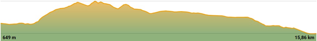
| Distance: 15,86 km |
| Difficulty: Moderate |
| Walking Time: 3 h 26 min. |
| Speed Medium: 4,6 km/h |
| Route Type: linear, one-way only |
| Maximum hight: 1085 m |
| Minimun hight: 649 m |
| Positive altitude change: 517 m |
| Negative altitude change: 654 m |
DESCRIPTION OF THE JOURNEY
Departure: Car park Santuario de la Mare de Déu del Castell de Agres.
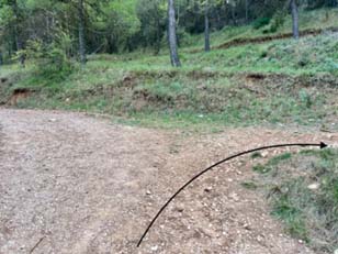
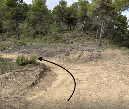
At the car park of the sanctuary take the asphalted pathway that descents toward Agres.
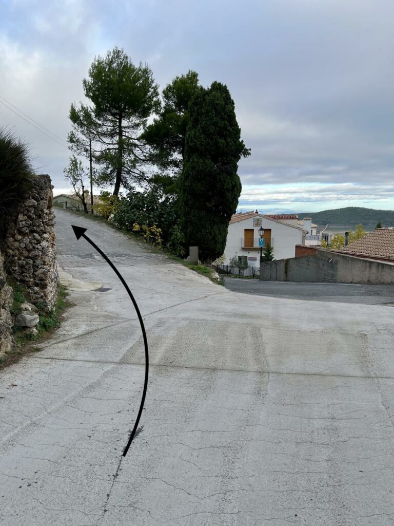
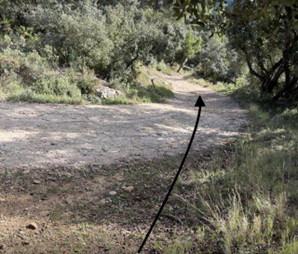
Before entering the village turn left at the first intersection and at the following crossroads turn right.
This path will take you to Zamorano refuge where you continue taking the GR 330 – PRCV 370 in the direction of Alfafara and to the spring of “Molí Mató”.
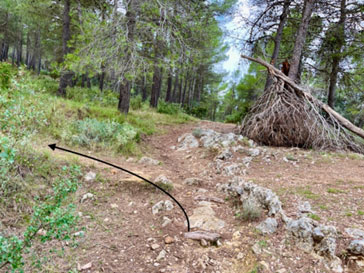
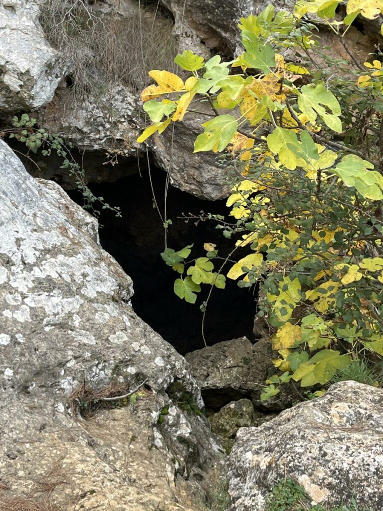
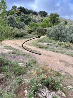
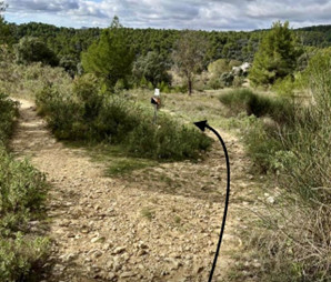
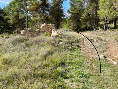
At the recreation area of “Molí Mató” spring take the track GR 330 – PRCV 370. At the next intersection leave this track and take the path to your left that moderately rises up and takes you to the “Nacimiento de la Font del Molí Mató” cave or “water cave”.
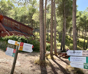
Once you have seen the small cave continue the footpath until it joins the track that leads up to the “Cava Don Miguel” PR-CV 104-307 and SLCV 168.
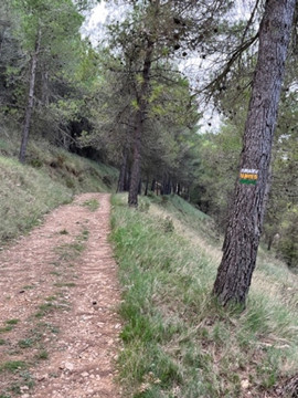
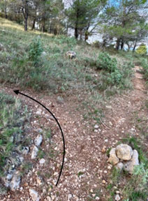
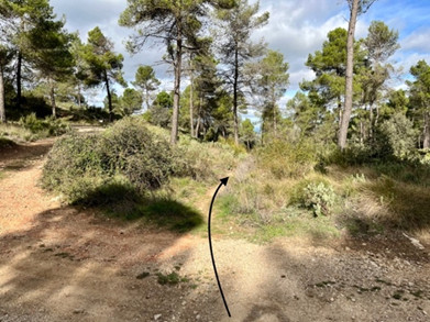
At the crossroads take the path at your left following the white, green and yellow signs.
We leave the Cava de Miquel behind and continue along the PR-CV 370 towards the Cova del Bolumini.
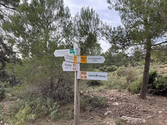
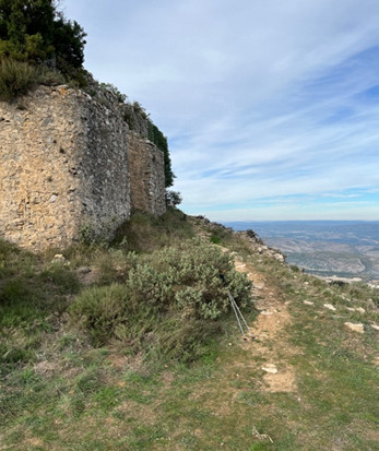
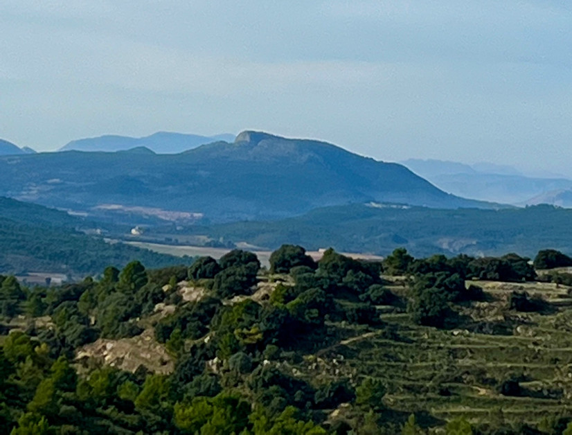
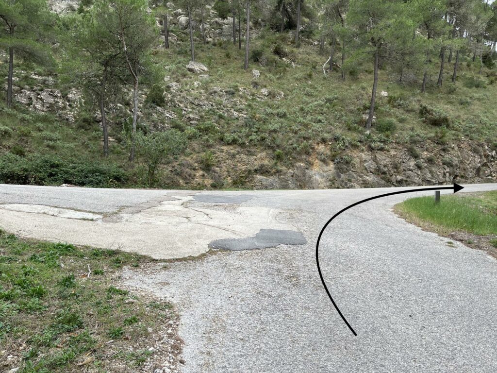
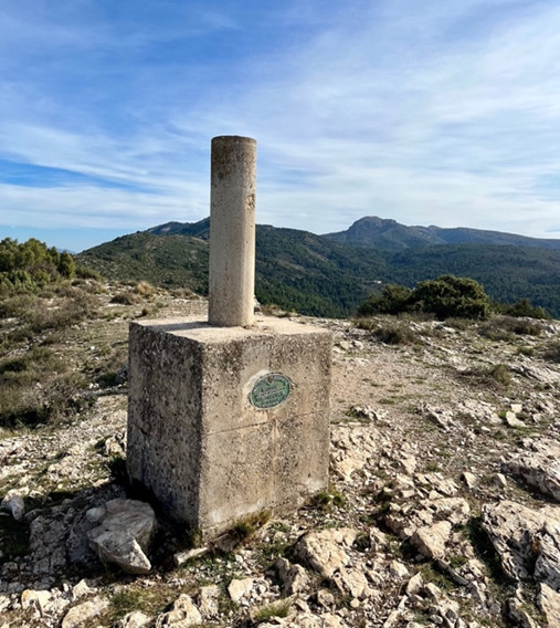
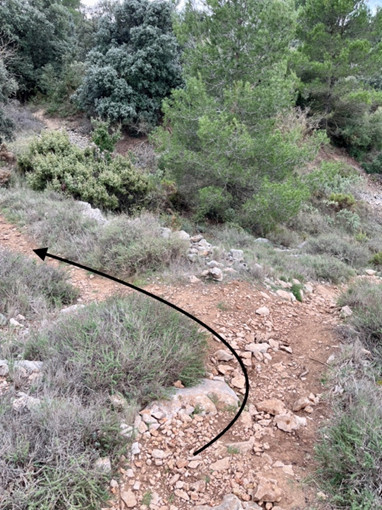
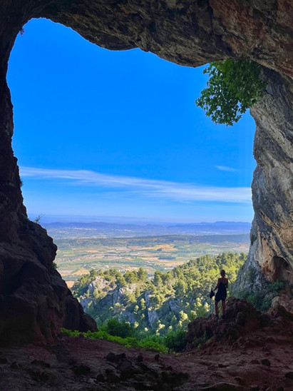
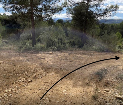
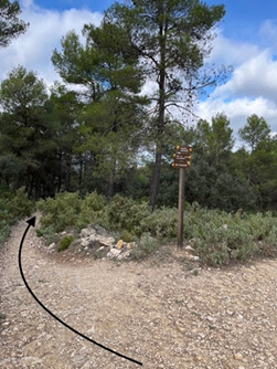
Continue until you have reached the top of the Portí or Portell (1084 m.) Please pay special attention to the different crossroads.
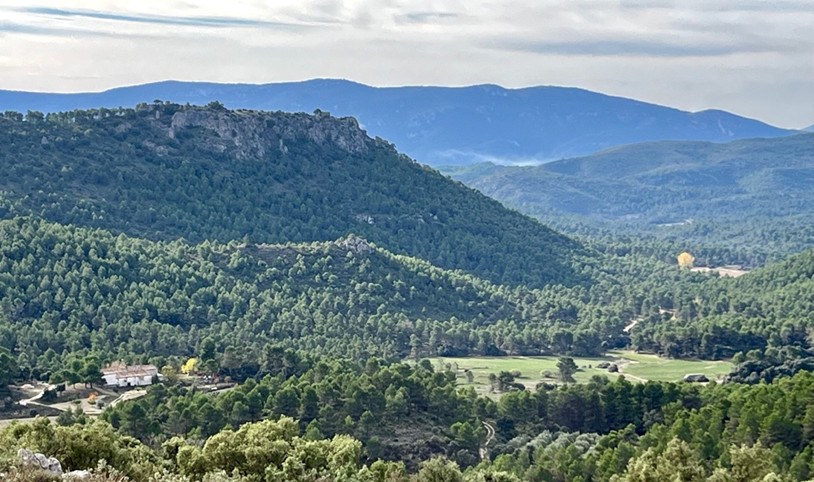
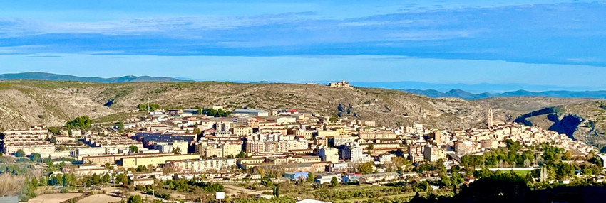
From the top of Portí mountain you can see the Valleta d’Agres, Alfafara, Bocairent, Montcabrer, Maigmó in the south, La Replanà and El Reconco in the south west, La Blasca in the north west, Monduver in the north east and many more.
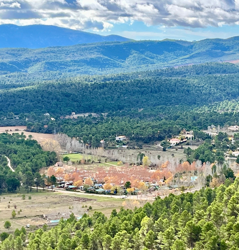
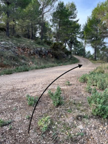
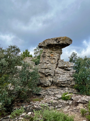
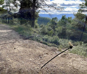
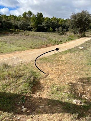
Continue the track PR-CV 370 for a short time, then follow the path on your left-hand side that will lead you to the Cava el Portí or Portell and the Taulellets. From here you can see the country houses of Mariola and the campsite Mariola.
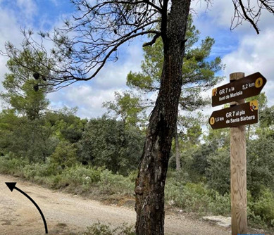
From here on follow the green signs until you reach track PR-CV 370 again and then turn right and take the path “Senda de los íberos” in the direction of Bolumini cave.
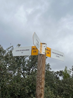
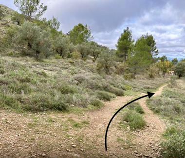
Continue on the “Senda de los íberos” untilyou reach Bolumini cave.
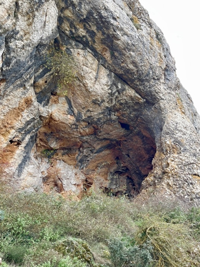
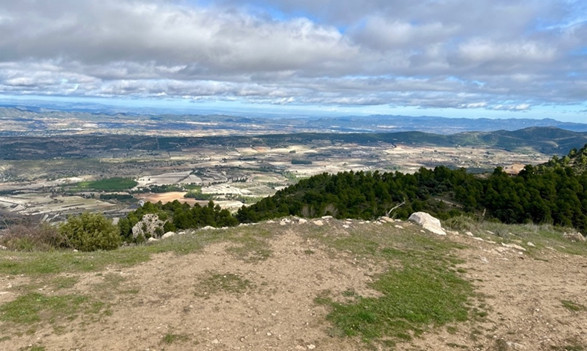
Once you have visited the cave, continue the path which climbs steeply but shortly up to the Cabeçó de la Mariola and the remains of the Iberian settlement. On the top of the Cabeçò de la Mariola (or Alto de la Cueva) you can see “Valleta d’Agres”, Alfafara, Bocairent and you have an excellent panoramic view.
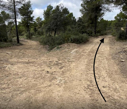
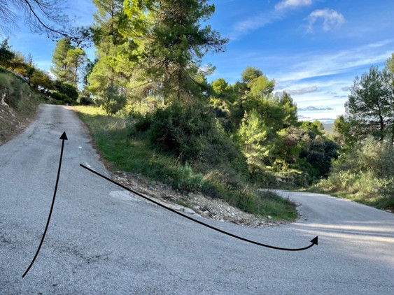
After having enjoyed the views that offer the Cabeçó de la Mariola, decline the path until it joins PR-CV 370 again, continue taking the footpath on your right and then again turn right at all the crossroads until you reach GR 330. we will continue to the right and then to the right again at all the crossroads until we join the GR 330
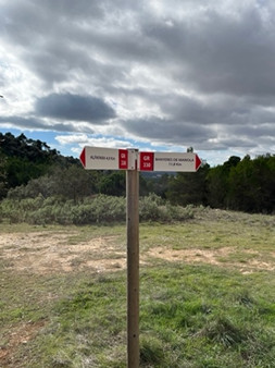
At the intersection with GR 330 turn right in the direction of Banyares de Mariola.
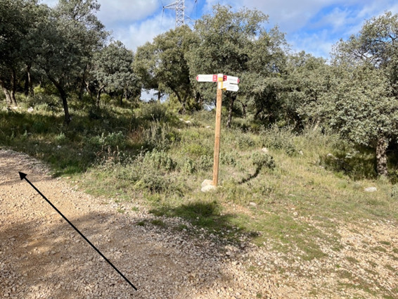
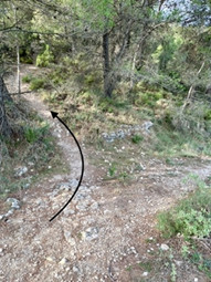
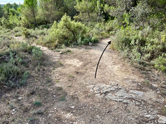
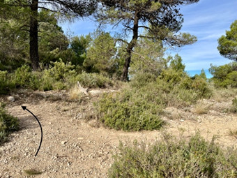
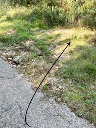
Pay special attention at the crossroads.
Always follow the white and red sings representing the GR in the direction of Banyeres until you reach the path “el Carrascalet“ GR 7 in the direction of Bocairent and to the plain of Santa Bárbara.
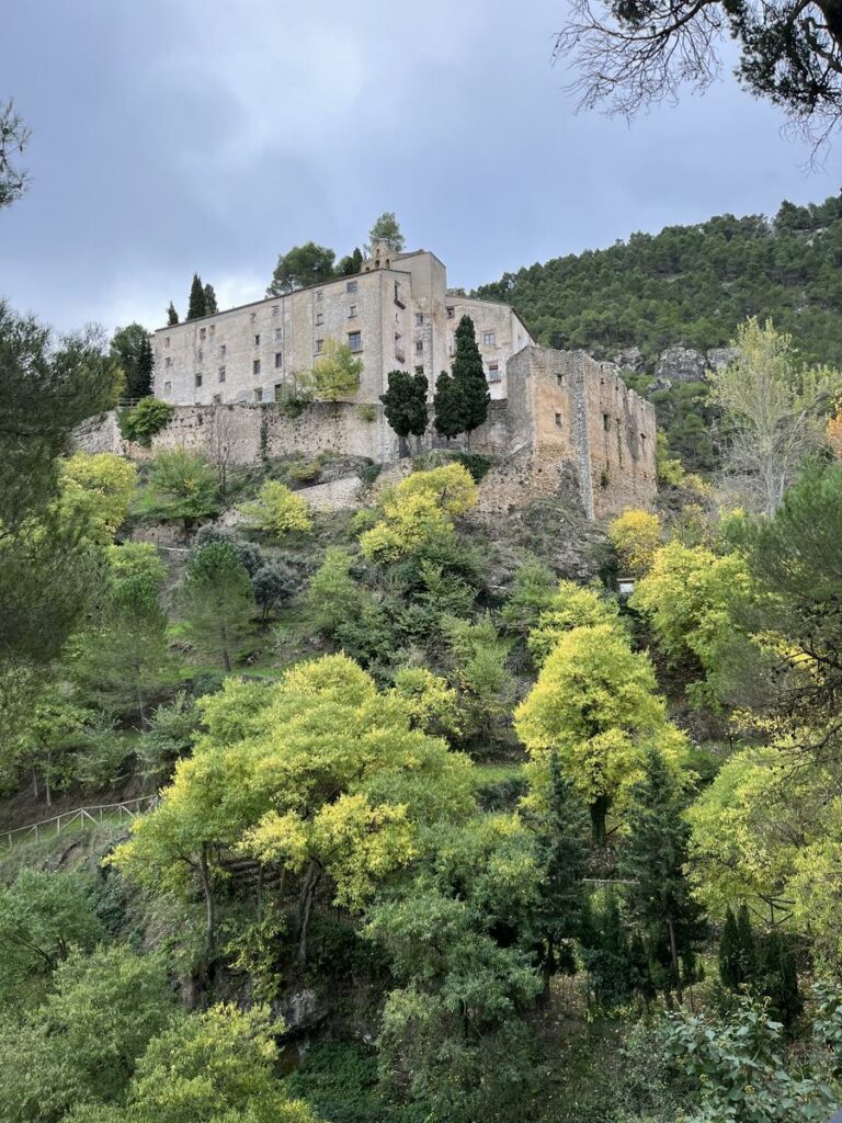
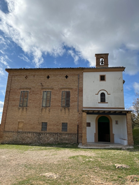
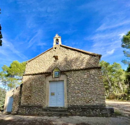
Go around the country houses and you will reach the hermitage of Santa Bárbara which was built at the end of the 19th and the beginning of the 20th century on top of the ruins of an older hermitage (1558) which had been dedicated to the Saints Cosme y Damian. The hermitage is semi-detached to a farm house with parts that date from different periods of time.
In this hermitage a popular festival is celebrated every first Sunday of December which was declared to be of Tourist Interest of the Valencian Community. It includes popular dances and bonfires.
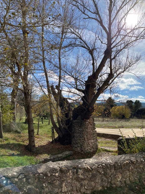
We can also admire the hundred-year-old poplar near the Pla fountain and the laundry room where the inhabitants of the nearby farmhouses washed their clothes and met.
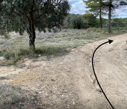
We will then take the path to the right of the hermitage, passing through some ruins, we continue along the path to the right and at the next intersection, choose the path to the right that leads us to Bocairent.
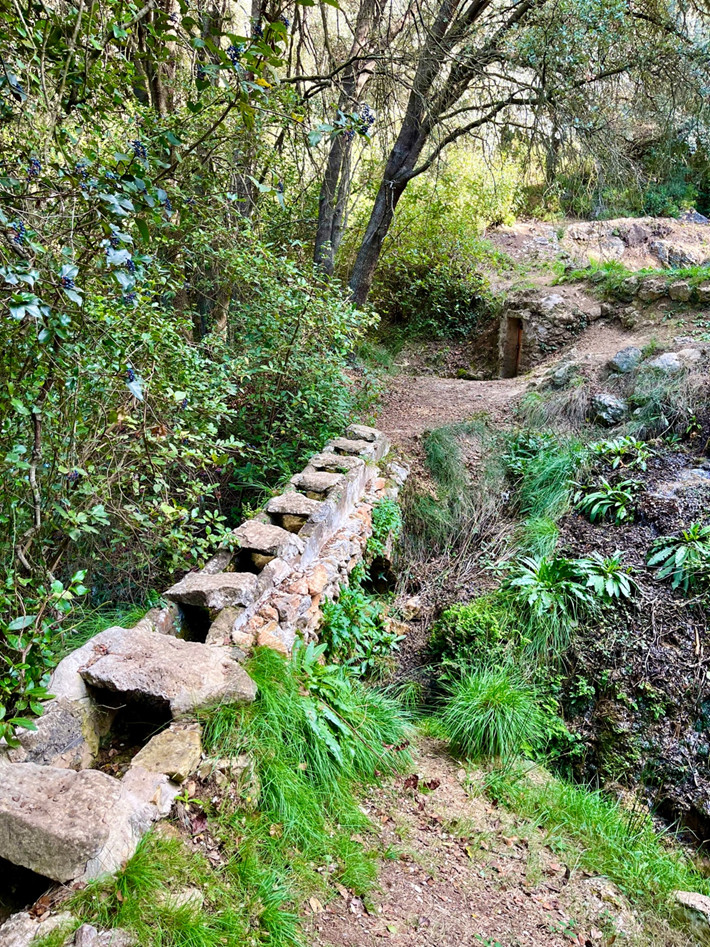
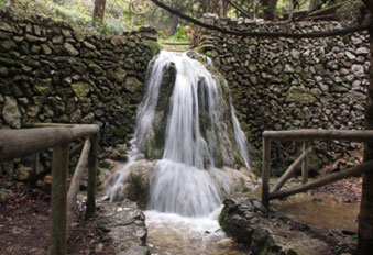
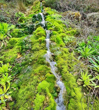
In this route we will find during the descent the Teular Fountain and washing machine that provides flow to an annexed waterfall full of moss
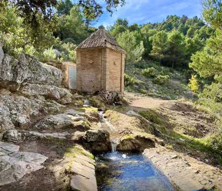
The path ends in a paved road. We will take the one on the left to visit the Hermitage of San Jaime, built in the 16th century. Above the main door we can see a ceramic altarpiece with the image of the saint. The interior is a single nave in the Gothic style. Outside we find a fountain surrounded by holm oaks, from where fresh water emanates.
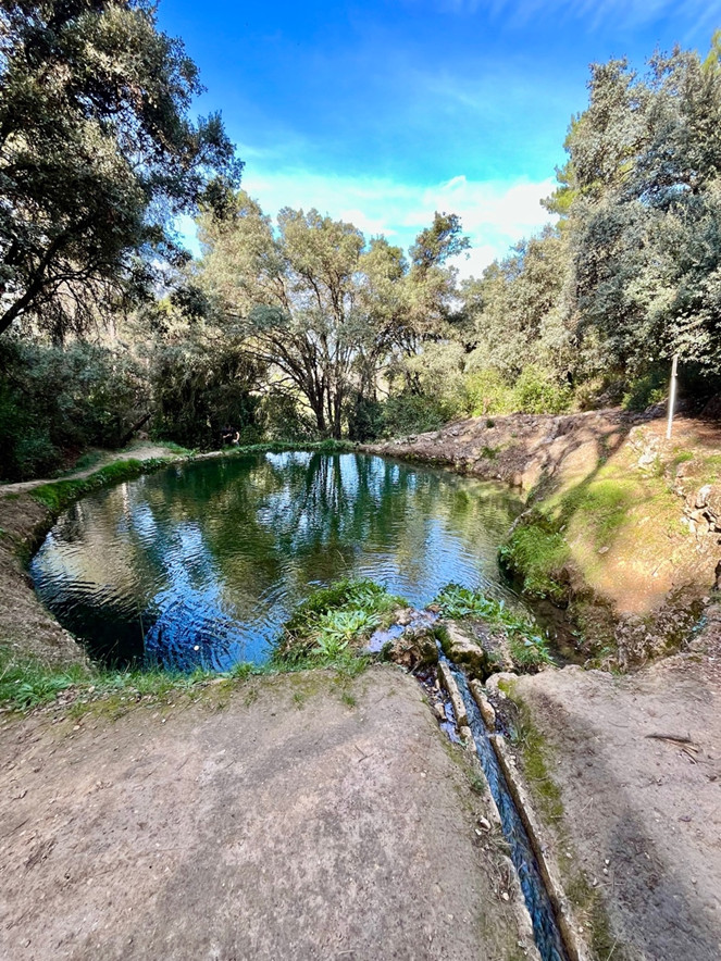
We return along the same path to the previous crossroads to choose the path that descends to Bocairent. A short distance from this point, we look at a path to the right that leads to the “Bassa del Canyaret or Paradís”. This pool is one of the points of maximum interest due to the protected fauna that it treasures, belonging to the network of natural spaces European protégés.
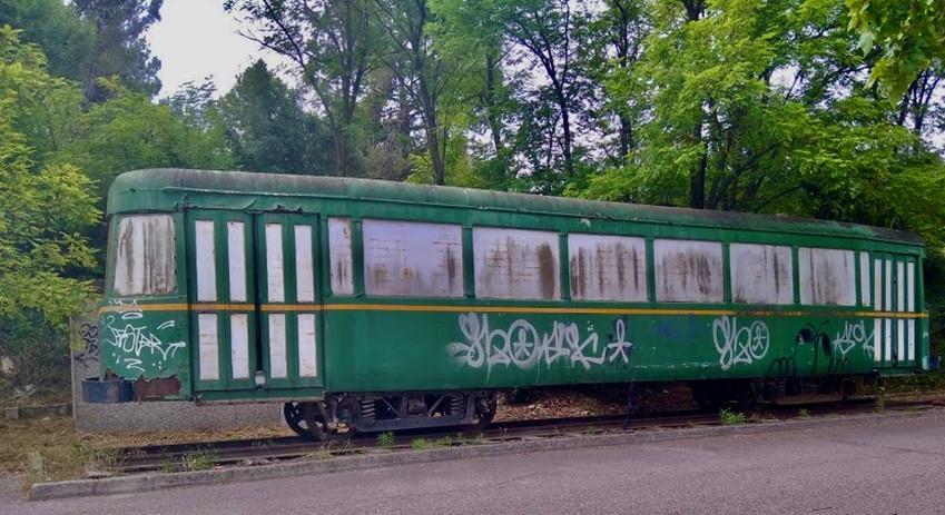
From the natural pool we will take the path to the right that leads us back to the asphalt path that we will continue down until we come across the Old Bocairent Train Station, now converted into a hotel.
During this section we can enjoy wonderful views:
Summits of Montcabrer, Font Roja and Menejador, Benicadell and Monduver, La Replanà, Reconco, La Blasca, Valleta d’Agres, Alfafara, Bocairent…, from sources such as the Moli Mató, Font del Teular, Font del Pla , the Hermitage of Santa Bárbara and that of San Jaime, Camping de la Mariola, rock formations such as “els Taulellets” and we will be surrounded by holm oaks, pines, fleixos and seconds of the season we can smell the smell of the different medicinal plants, with sage de Mariola, timó, coixinet de monja, camamil·la, lavender, cadireta de pastor etc..
Summits of Montcabrer, Font Roja and Menejador, Benicadell and Monduver, La Replanà, Reconco, La Blasca, Valleta d’Agres, Alfafara, Bocairent…, from sources such as the Moli Mató, Font del Teular, Font del Pla , the Hermitage of Santa Bárbara and that of San Jaime, Camping de la Mariola, rock formations such as “els Taulellets” and we will be surrounded by holm oaks, pines, fleixos and seconds of the season we can smell the smell of the different medicinal plants, with sage de Mariola, timó, coixinet de monja, camamil·la, lavender, cadireta de pastor etc..
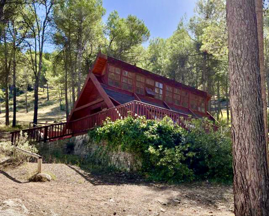
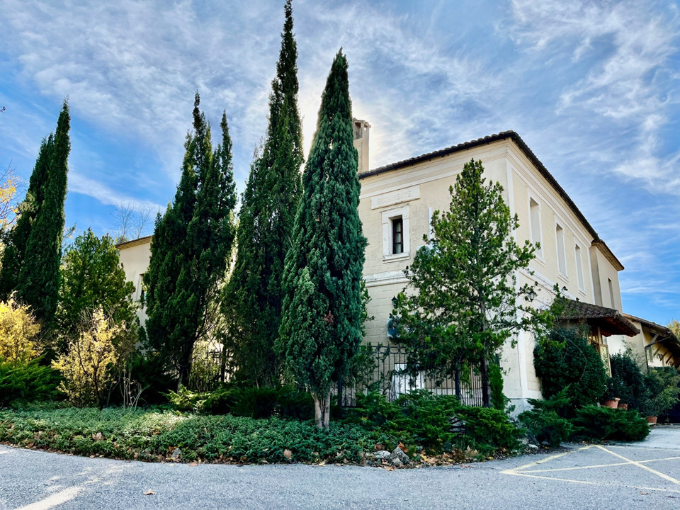
Final del 2n Tram: Antiga Estación de Bocairent, reconvertida en hotel
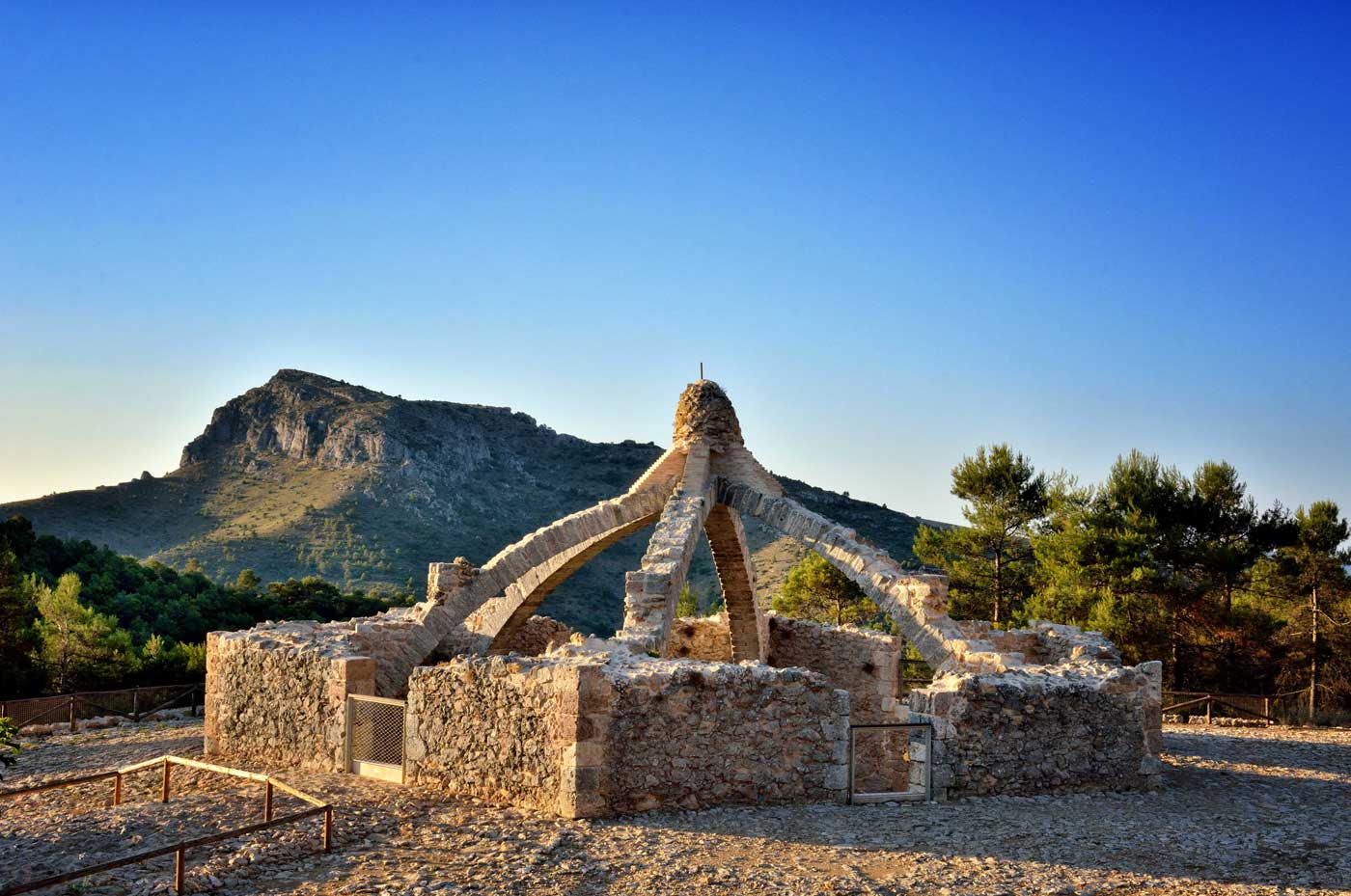
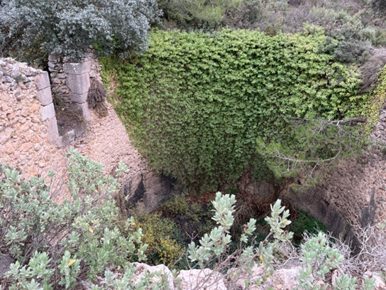
Les Caves o pous de Neu
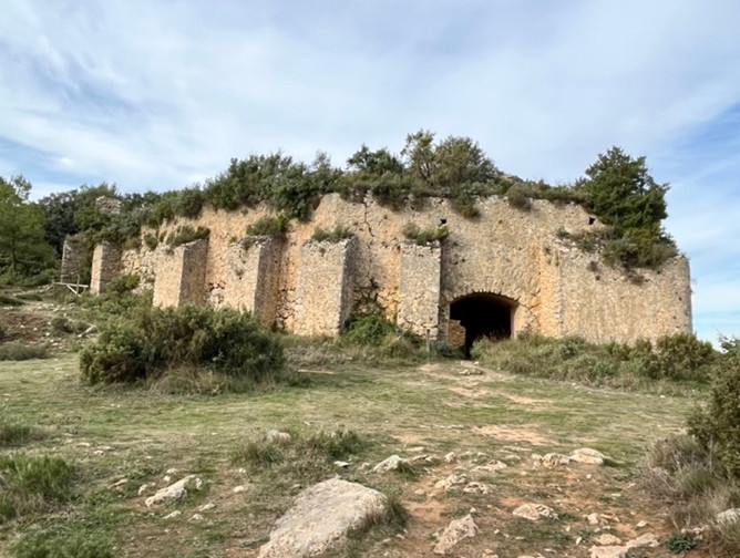
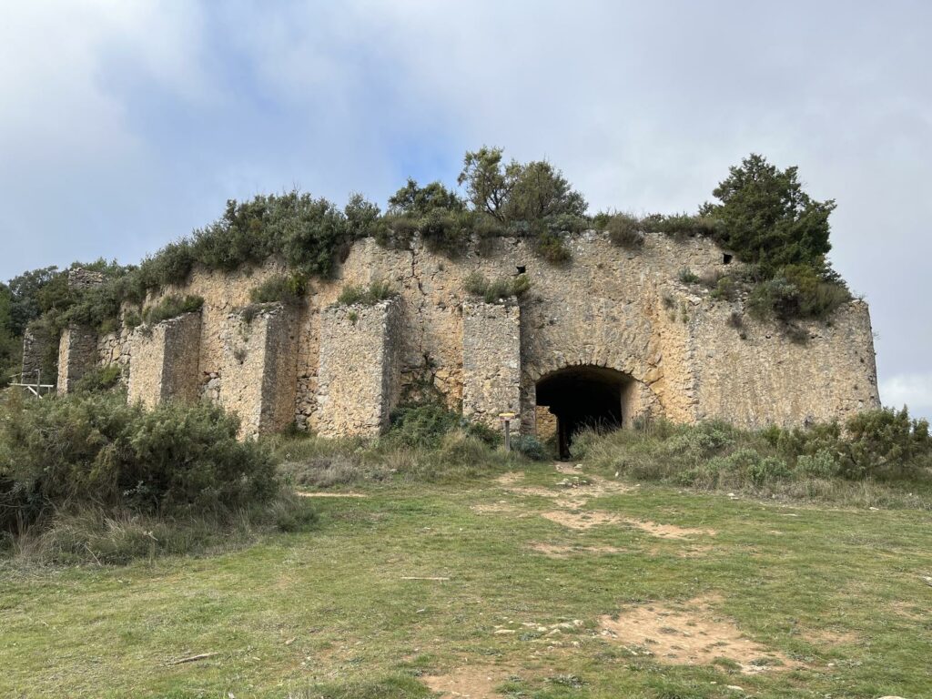
CAVA DON MIGUEL
La Cava d’En Miquel, It is the most “modern” cave visited, it was built at the beginning of the 17th century and is one of the most imposing wells in Mariola, due to its spectacular and robust structure. Its capacity and internal measurements are similar to those of the nearby Cava Arquejada, since it has a diameter of about 15 meters and a depth of about 10 meters, which translates into a capacity of up to 1700 cubic meters.

LA CAVA DEL PORTÍ O DEL PORTELL D’ALFAFARA
It is located very close to Cim del Portí, its diameter is 14-18 meters and it has a depth of 9.5 meters. The door through which the snow was removed is located in the NE and its capacity was 1910 cubic meters and it has an oval floor plan.
MÉS DETALLS DE L’ETAPA